Impacts of Climate Change and Land Use  on the Southwestern United States
Southwest U.S. Change Detection Images: Reno and Lake Tahoe, Nevada

CONIFER MORTALITY AREA

This area has been studied by scientists at Boston University. They have ground measurements to quantify the decrease in the forestcanopy as a result of the drought. The sustained drought conditions weakenedthe trees and made them more susceptible to insect attacks.The areas of orange on the edge of the lake outline a confirmed area of tree kill.

Reno/Lake Tahoe 8-5-1986Reno/Lake Tahoe 8-5-1992Change from 1986 to 1992
coniferconiferconifer

key


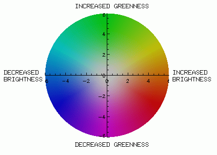
Collins, John B. and Woodcock, Curtis E. 1994. Change Detection Using the Gramm-Schmidt Transformation Applied to Mapping Forest Mortality. Remote Sensing of Environment 50(3):267-279.


Back to Southwest U.S. Change Detection Images: Reno and Lake Tahoe, Nevada

Link to USGS home page

U.S. Department of the Interior | U.S. Geological Survey
URL: http://geochange.er.usgs.gov/sw/changes/natural/reno-tahoe/conifer.html
Page Contact Information: ESD Web Team
Page Last Modified: Tue 18-May-2004 11:19:08 MDT
Accessibility, Privacy, and other policies and notices