|
|
|
Metadata
|
|
ID
|
M-1-71-NC
|
|
Abstract
|
Chief Scientists: N.A. Prahl, G.B. Mills. Geophysical data
(gravity, navigation, bathymetry) of field activity M-1-71-NC
in Cape Flattery, Washington to Santa Cruz, Northern
California from 04/12/1971 to 12/07/1971
|
|
Project/Theme
|
Continental Shelf Bottom Gravity Survey
|
|
National Plan
|
National Ocean Survey
|
|
Chief Scientist
|
N.A. Prahl
G.B. Mills
|
|
Activity Type
|
Geophysical
|
|
Platform
|
McArthur
|
|
Area of Operation
|
Cape Flattery, Washington to Santa Cruz, Northern California
|
|
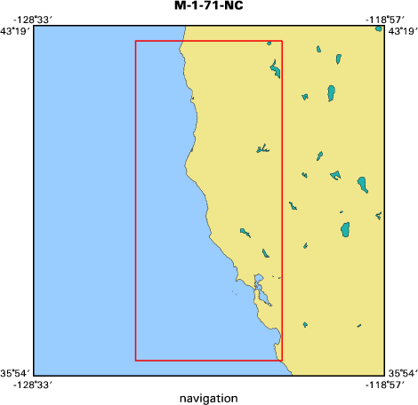
Location map
|

|
|
Bounding Coordinates
|
43.00000
-125.75000 -121.75000
36.25000
|
|
Dates
|
04/12/1971 (JD 102) to 12/07/1971 (JD 341)
|
|
Analog Materials
|
list
|
|
Index map
|
|
|
Crew
|
|
N. A. Prahl
|
Chief Scientist
|
|
G. B. Mills
|
Chief Scientist
|
|
|
Equipment Used
|
|
gravity
|
|
navigation
|
|
bathymetry
|
|
|
Information to be Derived
|
|
Gravity range, gravity range contour maps, gravity range bathymetry
|
|
|
Summary
|
|
313 bottom gravity measurements were made over a 200 square nautical
|
|
mile area on the Continental Shelf approximately 20 miles due west of Cape
|
|
Flattery, WA. Observations were made at one nautical mile intervals to establish
|
|
a test range for evaluating the accuracy and performance of underway sea-surface
|
|
gravimeters. In addition, 499 bottom gravity measurements were made on the
|
|
Continental Shelf between the 5 and 100 fathom isobaths from Cape Flattery, WA,
|
|
to Monterey Bay, ca. Measurements were made at 5 mile intervals as part of the
|
|
National Ocean Survey's marine gravity program. 32 sea-fix shore stations were
|
|
established. The shore station pairing for the gravity test range included EPI
|
|
Mukkaw (north station) and Quill RMS (south station).
|
|
|
Notes
|
|
Information from Prahl, N.A., and Mills, G.B. operational data report
|
|
west coast continental shelf bottom gravity Cape Flattery to Santa Cruz
|
|
National Oceanic and Atmospheric Administration (NOAA) ship McArthur 1971:
|
|
Dept. of Commerce, NOAA, NOS, Marine Geophysics Group, 32 p.
|
|
|
|
|
Got Help?
|
For M-1-71-NC, we would appreciate any information on -- contract, days at sea, dive count, funding, information specialist, kms of navigation, NGDC Info, organization, owner, ports, project number, publications, purpose, scanned materials, seismic description, station count, station description, submersible, tabulated info.
|
|


