|
|
|
Metadata
|
|
ID
|
B-3-08-FL
|
|
Abstract
|
United States Geological Survey, Pacific Science Center.
Chief Scientist: Peter Swarzenski. Geophysical and
geochemical data collection data of field activity B-3-08-FL
in Florida Bay, Barnes Sound, Blackwater Sound from
03/02/2008 to 03/07/2008
|
|
Organization
|
United States Geological Survey, Pacific Science Center
|
|
Project/Theme
|
Submarine Groundwater Discharge
|
|
Chief Scientist
|
Peter Swarzenski
|
|
Activity Type
|
Geophysical and geochemical data collection
|
|
Platform
|
Barge
|
|
Area of Operation
|
Florida Bay, Barnes Sound, Blackwater Sound
|
|
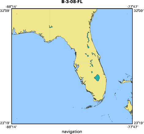
Location map
|

|
|
Bounding Coordinates
|
31.75000
-87.75000 -78.25000
23.75000
|
|
Ports
|
LEAVE ARRIVE Key Largo, FL
ARRIVE LEAVE Key Largo, FL
|
|
Dates
|
03/02/2008 (JD 062) to 03/07/2008 (JD 067)
|
|
Analog Materials
|
No analog holdings.
|
|
Index map
|
|
|
Information Specialist
|
|
|
Crew
|
|
Peter Swarzenski
|
USGS
|
|
Chris Reich
|
USGS
|
|
Marci Marot
|
USGS
|
|
Rene Price
|
FIU
|
|
Jeremy Stalker
|
FIU
|
|
Dave Rudnick
|
SFWMD
|
|
|
Purpose
|
|
Collection of Radon and Resistivity profiles in Florida Bay and surrounding
|
|
waters to look for SGD that may be enhancing the recent algal blooms in the
|
|
region
|
|
|
Summary
|
|
Approximately 45 line kilometers per day was collected during the study. This
|
|
included resistivity, radon and continuous surface water quality (salinity,
|
|
temperature, pH). Shinn, Reich and Hickey installed numerous monitoring wells
|
|
in Florida Bay in the mid 1990s and were revisited during this trip to collect
|
|
various groundwater parameters. Wells were selected in the study region of
|
|
eastern Florida Bay and were sampled for nutrients, trace metals, field
|
|
parameters (temp, salinity, pH), and Radon and Radium isotopes.
|
|
|
Notes
|
|
Platform used; Aluminum 25ft barge
|
|
|
Got Help?
|
For B-3-08-FL, we would appreciate any information on -- analog materials, contract, days at sea, dive count, equipment used, funding, information to be derived, kms of navigation, national plan, NGDC Info, owner, project number, publications, scanned materials, seismic description, station count, station description, submersible, tabulated info.
|
|


