
|
|
|
|
Metadata
|
|
ID
|
07CRD01
|
|
Also Known As
|
J-10-07-FL
|
|
Abstract
|
United States Geological Survey, St. Petersburg, Florida,
Biological Resources Division,United States Geological
Survey, St. Petersburg, Florida, Coastal and Marine Geology
Program,Smithsonian Marine Station,University of Central
Florida,Dry Tortugas National Park. Chief Scientists: Ilsa
Kuffner, USGS, Valerie Paul, Smithsonian Marine Station, Ft.
Pierce, FL, Linda Walters, University of Central Florida.
Biological data of field activity 07CRD01 (J-10-07-FL) in Dry
Tortugas National Park, FL from 10/15/2007 to 10/21/2007
|
|
Organization
|
United States Geological Survey, St. Petersburg, Florida, Biological Resources Division
United States Geological Survey, St. Petersburg, Florida, Coastal and Marine Geology Program
Smithsonian Marine Station
University of Central Florida
Dry Tortugas National Park
|
|
Project/Theme
|
Experimental Investigations of Coral Reef Degradation
|
|
Chief Scientist
|
Ilsa Kuffner
Valerie Paul
Linda Walters
|
|
Activity Type
|
Biological
|
|
Platform
|
Fort Jefferson
|
|
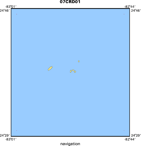
Area of Operation
|
Dry Tortugas National Park, FL
|
|
Location map
|

|
|
Bounding Coordinates
|
24.75000
-83.00000 -82.74800
24.50000
|
|
Ports
|
LEAVE Key West, FL
ARRIVE Key West, FL
|
|
Dates
|
10/15/2007 (JD 288) to 10/21/2007 (JD 294)
|
|
Analog Materials
|
No analog holdings.
|
|
Index map
|
|
|
Information Specialist
|
|
|
Purpose
|
|
The goal of the study is to examine the important reef process of herbivory in
|
|
Dry Tortugas National Park. We will be surveying sites both inside and outside
|
|
of the newly established no-take Research Natural Area so that changes in
|
|
trophic structure and herbivory rates resulting from protection from all
|
|
fishing can be evaluated over time.
|
|
|
Information to be Derived
|
|
Percent cover and biomass of macrophytes, abundance and size of herbivorous
|
|
fishes, density of herbivorous sea urchins, estimates of grazing intensity,
|
|
rugosity of the substratum, percent live coral cover, and percent cover by
|
|
other invertebrates.
|
|
|
Summary
|
|
We will collect data via SCUBA at randomly selected sites within the two most
|
|
abundant habitat types, low relief hard bottom, and patch reef, as well as some
|
|
areas of special concern to the DTNP Division of Resources.
|
|
|
Notes
|
|
Platforms used; MV Fort Jefferson and small vessel MV Halimeda
|
|
|
Got Help?
|
For 07CRD01, we would appreciate any information on -- analog materials, contract, crew, days at sea, dive count, equipment used, funding, kms of navigation, national plan, NGDC Info, owner, project number, publications, scanned materials, seismic description, station count, station description, submersible, tabulated info.
|
|


