|
|
 |
Learning Corner
Teaching Activities
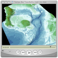
Fly Through Tampa Bay, Florida
 Students will gain an understanding of the underlying physical structure, topography bathymetry, and shoreline in the Tampa Bay area. They will also become more familiar with natural and manmade features of the area. Students will practice map labeling, contour drawing, and perform unit conversions with a calculator. Students will gain an understanding of the underlying physical structure, topography bathymetry, and shoreline in the Tampa Bay area. They will also become more familiar with natural and manmade features of the area. Students will practice map labeling, contour drawing, and perform unit conversions with a calculator.
Teach your students how to map
This Web site lets them test their contouring skills!
Create Topic Specific maps for Geoscience Classes
http://serc.carleton.edu/introgeo/gis/Topic_GIS_Maps.html
Internet Resources
|