U.S. Geological Survey
Back to USGS Homepage

Click image above to visit site
The Great ShakeOut
A hypothetical magnitude 7.8 earthquake will start The Great Southern California ShakeOut, a week of special events featuring the largest earthquake drill in U.S. history on November 13, 2008. What we do now, before a big earthquake, will determine what our lives will be like after.
Click image above to visit site
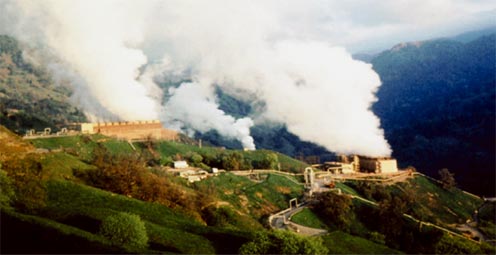
Substantial Geothermal Energy Potential for the United States
The USGS has completed an assessment that shows greater potential for geothermal power production than is currently being used. Geothermal energy is not only a renewable resource, but could significantly contribute to the Nation's domestic energy resource base.
Click image above to visit site
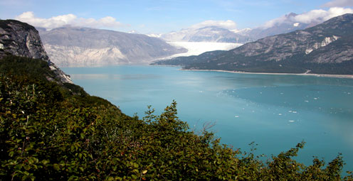
Most Alaskan Glaciers Retreating, But a Few Advancing
More than 99 percent of Alaska’s large glaciers are retreating, and a handful, surprisingly, are advancing. USGS scientists have published details about the behavior of Alaska’s glaciers, which are responding to changes in marine and continental climates.
Click image above to visit site
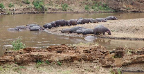
USGS Supports Atlas of Africa
The USGS provided historical and current Landsat satellite images for the recently released Africa: Atlas of Our Changing Environment, produced by the United Nations Environmental Programme. The images vividly document environmental change across the African continent for the powerful 400-page book.
Click image above to visit site
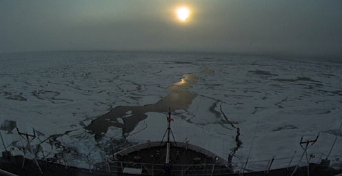
Mapping an Unexplored Arctic Region
A scientific expedition this fall will map the unexplored Arctic seafloor where the U.S. and Canada may have sovereign rights over natural resources such as oil and gas and control over activities such as mining. Access photos, trip journey, and video in the Arctic Chronicles blog.
Click image above to visit site
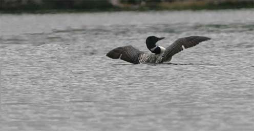
Loon Locator
Scientists are evaluating a new way of monitoring movements and behavior of common loons by using a small archival geolocator tag. The tags are attached to a leg band on the loon, and they measure and record light levels, temperature, and pressure for up to two years.

Click image above to visit site
Exploring Deep Coral Reefs
Join the cruise as USGS scientists examine and explore deep coral reef sites in the northern Gulf of Mexico. Images and daily updates are available on the Ship’s Blog.
Click image above to visit site
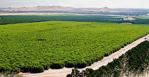
How Much Water and Where?
Scientists have proposed a strategy to study the Nation's ground-water supply; the strategy is designed to provide regional information for State and local resource managers as well as the building blocks for a national assessment.
Click image above to visit site
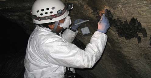
A Fungus among Us
A previously undescribed cold-loving fungus has been linked as a probable cause of unprecedented numbers of bat deaths in the northeastern United States. Any declines of North American bat populations would likely have far-reaching ecological consequences.
Click image above to visit site
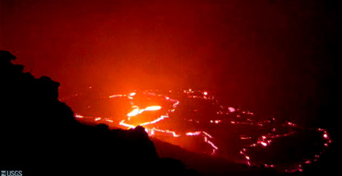
Keep Up With Kilauea
Time lapse movies, web cams, status reports, maps, and images are just a few of the great resources available at the Hawaiian Volcano Observatory Web site. Browse the vast information and unique images offered at this site.
Click image above to visit site
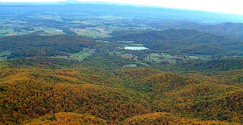
Fall Scenery as Science
A multispectral camera used with USGS weather stations and satellite data as part of a climate change study also reveals autumnal color changes and other stages of tree life. Try it now online!
Click image above to visit site
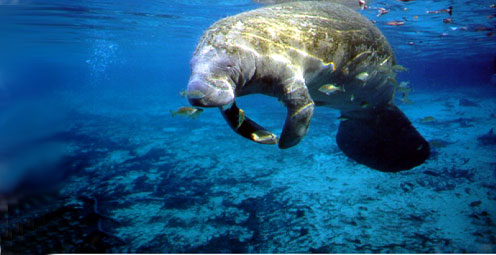
On the Gene Scene with the USGS
The USGS helps answer genetics questions for the management of fish and wildlife, and their habitat and conservation. Visit our new Genetics and Genomics site to see the cutting-edge tools and technologies our geneticists put to work.
Click image above to visit site
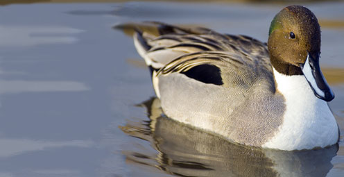
Pinning the Tail on the Exchange of Pathogens
Scientists are using satellite telemetry, band recovery and genetic analyses to figure out where the exchange of avian-borne pathogens happens between Asian and North American migratory birds.
Click image above to visit site
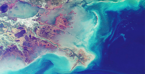
Nutrients Net a Negative in the Northern Gulf
High levels of nutrient delivery to the northern Gulf of Mexico are contributing to a large hypoxic zone, an area where low oxygen levels cause fish to leave the area and can kill bottom-dwelling organisms that can't
leave.

Click image above to visit site
President's FY 2009 Budget Request
Information, resources, and more on the President's FY 2009 Budget Request
Click image above to visit site
The Power of Observation
The United States Group on Earth Observations (USGEO) is working to connect Earth observations with public health, agriculture, climate, and data management and dissemination.

Click image above to visit site
Global Change Keeping Up With an Ever-Changing Planet
USGS studies the relationships among earth surface processes, ecological systems, understanding current changes in the context of prehistoric and recent earth processes, distinguishing between natural and human-influenced changes, and recognizing ecological and physical responses to changes in climate.

Click image above to visit site
Facing Tomorrow's Challenges
The USGS Science Strategy is a comprehensive report to critically examine the USGS's major science goals and priorities for the coming decade. The USGS is moving forward with these strategic science directions in response to the challenges that our Nation's future faces and for the stewards of our Federal lands.

Click image above to visit site
USGS Kicks Off International Polar Year
During the International Polar Year (2007-2008), USGS will be conducting research at both poles, collecting information on polar conditions and studying their interactions with and influence on oceans, the atmosphere, land masses and ecosystems to understand current and forecast future global climate.