|
|
|
Metadata
|
|
ID
|
08ACH05
|
|
Also Known As
|
A-5-08-TX
Xstorms
h2008080909
|
|
Abstract
|
United States Geological Survey, Saint Petersburg, Florida,
Center for Coastal and Watershed Studies, Coastal and Marine
Geology Program. Pre-Storm Aerial Survey data of field
activity 08ACH05 (A-5-08-TX) in Texas Coast from 09/09/2008
to 09/10/2008
|
|
Organization
|
United States Geological Survey, Saint Petersburg, Florida, Center for Coastal and Watershed Studies, Coastal and Marine Geology Program
|
|
Project/Theme
|
Assessment of Coastal Change Hazards
|
|
Activity Type
|
Pre-Storm Aerial Survey
|
|
Platform
|
Airplane
|
|
Area of Operation
|
Texas Coast
|
|
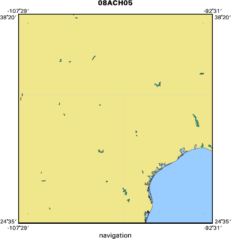
Location map
|

|
|
Bounding Coordinates
|
37.75000
-106.75000 -93.25000
25.25000
|
|
Ports
|
LEAVE Port Arthur, TX
ARRIVE Brownsville, TX
|
|
Dates
|
09/09/2008 (JD 253) to 09/10/2008 (JD 254)
|
|
Analog Materials
|
No analog holdings.
|
|
Index map
|
|
|
Purpose
|
|
Map Pre-Storm Beach Configuration
|
|
|
Information to be Derived
|
|
|
Summary
|
|
|
Notes
|
|
In process
|
|
Platform used: Fixed Wing Aircraft
|
|
|
Got Help?
|
For 08ACH05, we would appreciate any information on -- analog materials, chief scientist, contract, crew, days at sea, dive count, equipment used, funding, information specialist, kms of navigation, national plan, NGDC Info, owner, project number, publications, scanned materials, seismic description, station count, station description, submersible, tabulated info.
|
|