
|

|
|
|
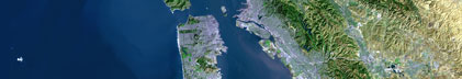
USGS CMG G-3-95-PS Metadata |
Skip navigational links |
|

|
| Activities: | by ID by Platform by Year by Region by Participant by Organization by Project/Theme with Incomplete IDs Disclaimer |
| Activity First Letter: | A B C D E F G H I J K L M N O P Q R S T U V W X Y Z 0 1 2 3 4 5 6 7 8 9 |
| Virtual Globes: | Atlas (GE) Samples (GE) Illuminate Oceans (GE) Earthquakes (GE) Get GE InfoBank examples State Waters |
| G-3-95-PS links... |
|
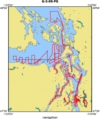
| Metadata & Data: | Metadata Navigation Seismic nav (GE GM) seis (GE GM) times (GE GM) |
| Formal Metadata: | Frequently-Anticipated Questions Outline Parseable Text XML |
|

| Crew |
|
||||||
| Equipment Used |
|
||||||
| Purpose |
|
||||||
| Publications |
|
||||||
| Got Help? | For G-3-95-PS, we would appreciate any information on -- contract, days at sea, dive count, funding, information specialist, information to be derived, kms of navigation, national plan, NGDC Info, notes, organization, owner, ports, project, project number, scanned materials, seismic description, station count, station description, submersible, summary, tabulated info. |
| Skip footer navigational links |
| InfoBank Menlo Park & Santa Cruz Centers St. Petersburg Center Woods Hole Center Coastal and Marine Geology Program Geologic Information Ask-A-Geologist USGS Disclaimer |
