
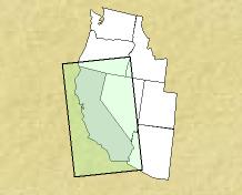
 These county and county equivalent data are based on laboratory tests of mosquitoes collected by state health officials. Mosquitoes are sorted by species and gender. Note that the map includes all areas of positive (confirmed or probable) WNV results, but not necessarily all areas with
submitted samples or no reports.
These county and county equivalent data are based on laboratory tests of mosquitoes collected by state health officials. Mosquitoes are sorted by species and gender. Note that the map includes all areas of positive (confirmed or probable) WNV results, but not necessarily all areas with
submitted samples or no reports.

| Cumulative Report Maps for the year 2002, California | |||
| Cumulative Human | Cumulative Veterinary | Cumulative Bird | Cumulative Sentinel Flock |
California Department of Health