
|
|
|
|
Metadata
|
|
ID
|
03060
|
|
Also Known As
|
S-60-03-MA
03060
|
|
Abstract
|
United States Geological Survey, Woods Hole, Massachusetts.
Chief Scientist: Jeff List. Shoreline mapping data (Swash II
ATV, Suburban tow vehicle, Ashtech ADU2 attitude sensor,
Ashtech Z-Surveyor GPS receivers) of field activity 03060
(S-60-03-MA) in North Carolina outer banks, Duck survey area
(Corolla to Oregon Inlet), Hatteras survey area (Oregon Inlet
to Hatteras), North Carolina, United States, North America
from 08/12/2003 to 08/13/2003
|
|
Organization
|
United States Geological Survey, Woods Hole, Massachusetts
|
|
Project/Theme
|
North Carolina Coastal Erosion
|
|
Chief Scientist
|
Jeff List
|
|
Activity Type
|
Shoreline mapping
|
|
Platform
|
Swash-II
|
|
Owner
|
Usgs-whfc, Woods Hole, Ma
|
|
Area of Operation
|
North Carolina outer banks, Duck survey area (Corolla to Oregon Inlet), Hatteras survey area (Oregon Inlet to Hatteras), North Carolina, United States, North America
|
|
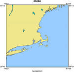
Location map
|
|
|
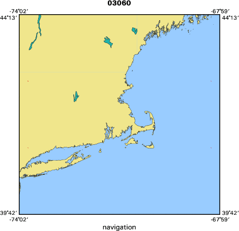
Bounding Coordinates
|
42.75000
-73.75000 -68.25000
41.25000
|
|
Dates
|
08/12/2003 (JD 224) to 08/13/2003 (JD 225)
|
|
Analog Materials
|
No analog holdings.
|
|
Index map
|
|
|
Information Specialist
|
|
|
Crew
|
|
Jeff List
|
Chief Scientist
|
|
Jeff List and others
|
|
|
Equipment Used
|
|
Swash II ATV
|
|
Suburban tow vehicle
|
|
Ashtech ADU2 attitude sen
|
(sor)
|
|
Ashtech Z-Surveyor GPS re
|
(ceivers)
|
|
|
Purpose
|
|
Shoreline surveys along 130 km of Cape Hatteras.
|
|
|
Information to be Derived
|
|
|
Summary
|
|
Shoreline position was measured along 130 km of Cape Hatteras.
|
|
|
Notes
|
|
2 days at sea.
|
|
Data types: GPS position data, attitude data, stored on Jaz disks
|
|
Navigation technique: visual, along foreshore of beach
|
|
130 km of continuous data.
|
|
Related Web Sites: http://woodshole.er.usgs.gov/operations/swash/
|
|
Submitted 09/24/08 by A. Orton for J. List.
|
|
|
Project Number
|
|
|
Funding
|
|
|
Got Help?
|
For 03060, we would appreciate any information on -- analog materials, contract, days at sea, dive count, kms of navigation, national plan, NGDC Info, ports, publications, scanned materials, seismic description, station count, station description, submersible, tabulated info.
|
|


