
|
|
|
|
Metadata
|
|
ID
|
02026
|
|
Also Known As
|
02026
MH 38
H-1-02-MA
|
|
Abstract
|
Woods Hole Oceanographic Institution,United States
Geological Survey, Woods Hole, Massachusetts. Chief
Scientists: Mike Bothner, Joanne Goudreau, Bill Martin.
Geological data (instrumentmooring, core, underwatercamera,
oxygenprofiler, benthicchambers) of field activity 02026
(H-1-02-MA) in Mass. Bay from 02/05/2002 to 02/06/2002
|
|
Organization
|
Woods Hole Oceanographic Institution
United States Geological Survey, Woods Hole, Massachusetts
|
|
Project/Theme
|
Massachusetts Bay Experiment
|
|
Chief Scientist
|
Mike Bothner
Joanne Goudreau
Bill Martin
|
|
Activity Type
|
Geological
|
|
Platform
|
Marcus Hanna
|
|
Area of Operation
|
Mass. Bay
|
|
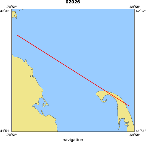
Location map
|

|
|
Bounding Coordinates
|
42.39013
-70.83085 -70.00000
42.00000
|
|
Ports
|
leave US Coast Guard Base, Commercial Street, Boston Ma.
arrive US Coast Guard Base, Commercial Street, Boston Ma.
|
|
Dates
|
02/05/2002 (JD 036) to 02/06/2002 (JD 037)
|
|
Analog Materials
|
No analog holdings.
|
|
Index map
|
|
|
Crew
|
|
Mike Bothner
|
Chief Scientist, USGS Woods Hole
|
|
Joanne Goudreau
|
Chief Scientist, WHOI
|
|
Bill Martin
|
Chief Scientist, WHOI
|
|
Dann Blackwood
|
Scientist at sea, USGS Woods Hole
|
|
Jonathan Borden
|
Scientist at sea, USGS Woods Hole
|
|
Mike Casso
|
Scientist at sea, USGS Woods Hole
|
|
Sarah Fuller
|
Scientist at sea, USGS Woods Hole
|
|
Marianna Martini
|
Scientist at sea, USGS Woods Hole
|
|
Rick Rendigs
|
Scientist at sea, USGS Woods Hole
|
|
Joanne Sedlock
|
Scientist at sea, USGS Woods Hole
|
|
Flavia Wood
|
Scientist at sea, USGS Woods Hole
|
|
Chuck Worley
|
Scientist at sea, USGS Woods Hole
|
|
Joe Newell
|
Mob and Demobe, USGS Woods Hole
|
|
Thomas Dickey
|
Ship Captain
|
|
|
Equipment Used
|
|
instrumentmooring
|
|
core
|
|
underwatercamera
|
|
oxygenprofiler
|
|
benthicchambers
|
|
|
Purpose
|
|
Exchange moored instruments and collect sediment samples at the USGS long-term stations near Bouy B in Mass Bay and offshore of Scituate.
|
|
|
Notes
|
|
67013 for Borden, Fuller, Martini, Sedlock, Worley, Newell; 67011 for
|
|
others. Bill Martin and Joanne Goudreau from WHOI who will deploy the
|
|
oxygen profiler on the 2nd day of the cruise.
|
|
|
Got Help?
|
For 02026, we would appreciate any information on -- analog materials, contract, days at sea, dive count, funding, information specialist, information to be derived, kms of navigation, national plan, NGDC Info, owner, project number, publications, scanned materials, seismic description, station count, station description, submersible, summary, tabulated info.
|
|


