|
|
|
| Soil Climate Analysis Network (SCAN) Plotter |
 |
|
USDA-NRCS
Soil Climate Analysis Network
And
SCAN Plotter
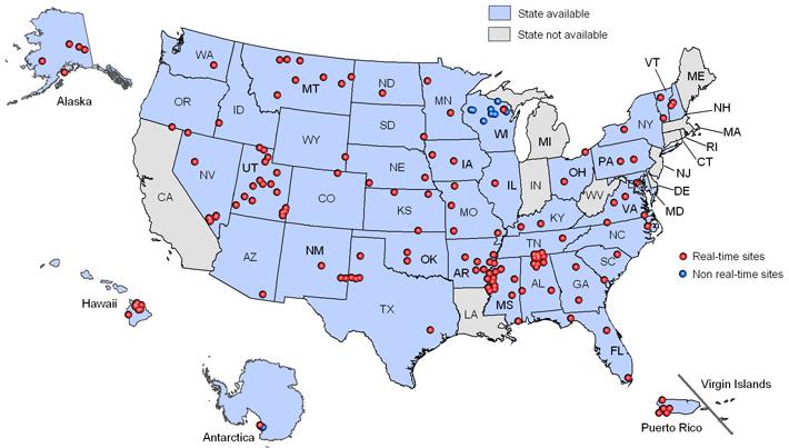
As part of the soil moisture research program at the Hydrology and Remote Sensing Lab (USDA-ARS), validation efforts have been conducted on a growing number of SCAN locations throughout the U.S. As part of this effort a Plotter has been developed to more easily retrieve and examine the time series of these locations. The graph is dynamic and the submission form is interactive, but in all research aspects refer back to the original NRCS-SCAN data set (http://www.wcc.nrcs.usda.gov/scan/).
Proceed to the
USDA-ARS Hydrology and Remote Sensing
SCAN PLOTTER
|
|
|
|
|
|
Last Modified: 01/25/2008
|
|