|
|
|
Metadata
|
|
ID
|
S-K1-99-MB
|
|
Abstract
|
Chief Scientist: Tom Reiss. Geodetic data (geodimeter,
instrumentheightmeter, tripod, battery, stadiarods,
digitalcamera) of field activity S-K1-99-MB in Scott Creek
Beach, Santa Cruz County, CA from 01/11/1999 to 01/11/1999
|
|
Project/Theme
|
Metropolitan Santa Cruz Beach Surveys
|
|
Chief Scientist
|
Tom Reiss
|
|
Activity Type
|
Geodetic
|
|
Area of Operation
|
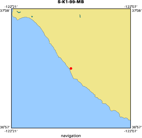
Scott Creek Beach, Santa Cruz County, CA
|
|
Location map
|

|
|
Bounding Coordinates
|
37.03990
-122.22931 -122.22931
37.03990
|
|
Dates
|
01/11/1999 (JD 011) to 01/11/1999 (JD 011)
|
|
Analog Materials
|
No analog holdings.
|
|
Index map
|
|
|
Crew
|
|
Tom Reiss
|
Chief Scientist, USGS Western Region
|
|
Gretchen Luepke
|
Unspecified, USGS Western Region
|
|
Justin Friesner
|
Unspecified, USGS Western Region
|
|
Kristin Brown
|
Unspecified, U.C. Santa Cruz
|
|
|
Equipment Used
|
|
geodimeter
|
|
instrumentheightmeter
|
|
tripod
|
|
battery
|
|
stadiarods
|
|
digitalcamera
|
|
|
Summary
|
|
A beach and nearshore topographic survey consisting of one shore-normal profile and one shore-parallel line (wet/dry line) was conducted. The profile was extended offshore into the surf zone utilizing a swimming rodman.
|
|
|
Notes
|
|
Field Procedure:
|
|
Two highway signs delineate the profile at Scott Creek.
|
|
The total station was set up just south of the profile.
|
|
The SECO level rods, in conjunction with the level-rod support tripods
|
|
were placed on the control points and pointed towards the total station.
|
|
Program 10 (site setup) was performed on the total station
|
|
Program 20 (station establishment) was performed on the total station
|
|
using option "Unknown Station Location"
|
|
Control Points: 10101, 10104, 10102, and 10103 were surveyed
|
|
(Fast Standard mode)
|
|
Profile was surveyed using the EXP3 stadia rod (Tracking mode)
|
|
The Wet/Dry line was surveyed using the EXP3 stadia rod (Tracking mode)
|
|
Gretchen Luepke sketched the beach.
|
|
Thomas E. Reiss photographed the area.
|
|
|
|
Field Observations:
|
|
Scott Creek continues to flow into the ocean to the north. Beach cusps evident.
|
|
Surf conditions too rough to go very far offshore.
|
|
|
Got Help?
|
For S-K1-99-MB, we would appreciate any information on -- analog materials, contract, days at sea, dive count, funding, information specialist, information to be derived, kms of navigation, national plan, NGDC Info, organization, owner, platform, ports, project number, publications, purpose, scanned materials, seismic description, station count, station description, submersible, tabulated info.
|
|