USGS Abandoned Mine Lands Intiative (AMLI)
USGS has created and collected various cartographic, geologic, hydrologic, geochemical, and ecological data sets that are part of a GIS database. This digital database are available on CD-ROM. Illustrations of some of the data sets are listed below.
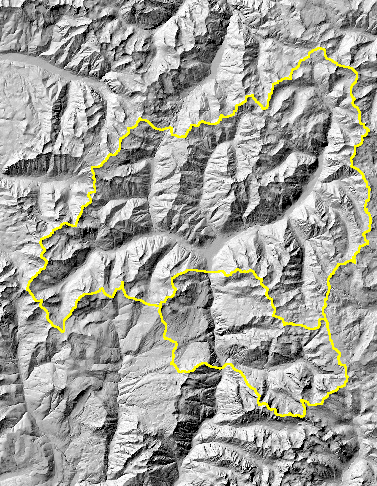
(Shaded relief image and upper Animas River watershed boundary)
NOTE: Images are intended for illustrative purposes only. Tabular attributes in the data sets may not be represented in these images.

![]() U.S. Department of the Interior |
U.S. Geological Survey
U.S. Department of the Interior |
U.S. Geological Survey
URL: http://amli.usgs.gov/data/animas/index.html
Page Contact Information: Webmaster
Page Last Modified: 18-Dec-2007@19:12
