|
Click here to start a tour of Crater Lake National Park. Click on any of the images to continue to the next page in the linked page series. Or, see a thumbnail gallery. Click here to see tours of other national parks. |
|
|
 |
This website contains images produced from stereo photo pairs that were manipulated into anaglyphs (3-D images). You will need red-and-cyan stereo viewing glasses to get the 3-D visual effects. |
|
Click here to see the same images in standard photography. |
| See the National
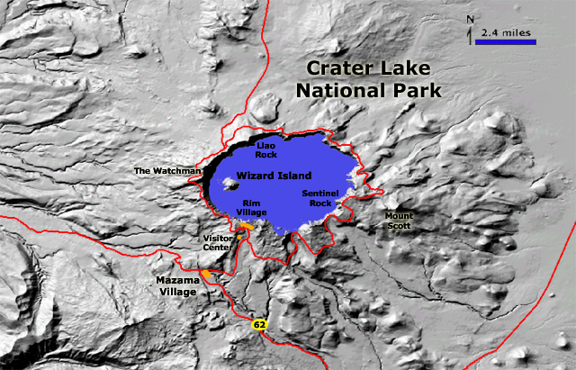
Park Service website for Crater Lake National Park: http://www.nps.gov/crla/index.htm For geologic maps and information about Crater Lake check out these USGS websites: David W. Ramsey, Peter Dartnell, Charles R. Bacon, Joel E. Robinson, and James V. Gardner, 2000, Crater Lake Revealed: U.S. Geological Survey Geologic Investigations Series I-2790L: http://geopubs.wr.usgs.gov/i-map/i2790. Crater Lake, Oregon--Mount Mazama, Oregon (USGS/Cascades Volcano Observatory, Vancouver, Washington) website: http://vulcan.wr.usgs.gov/Volcanoes/CraterLake/framework.html. |
This website was prepared by Phil Stoffer
USGS Western Earth Surface Processes
Team, Menlo Park, California.
U.S.
Department of the Interior - U.S.
Geological Survey - Geology
Discipline |