USGS - Effects of Climatic Variability and Land Use on American Drylands Earth Surface Processes | Global Change Research Link to USGS home page Earth Surface Processes Global Change Research

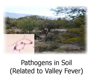
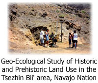
Human Health | Native Lands | Public Lands

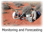
Studies to understand, monitor, and predict changes in physical and ecological landscapes and how these changes influence landscape stability, ecosystem dynamics, and human communities of American drylands.

Photo of study area near Canyonlands National Park, Utah, and link to Interactions Among Geology, Biogeochemistry, Ecology, and Climate Photo of dust emission, Mojave Desert, taken by wind-triggered digital camera, and link to Dust - Geomorphic, Hydrologic, and Climatic Factors of Dust Emission, and Societal Effects Photo of Las Vegas Wash, and link to Sediment Dynamics in Dryland Rivers - Relations to Climate, Groundwater, and Land Use

Photo of landscape that harbors Coccidioides immitis (inset: photomicrograph of C. immitis mold from soil), and link to Pathogens in Soil (Related to Valley Fever) Photo of house collapsed in 1999 by advancing dune, Tuba City, AZ, and link to Sand-Dune Dynamics Photo of children collecting water from a spring, and link to Geo-Ecological Study of Historic and Prehistoric Land Use in the  Tsezhin Bii' area, Navajo Nation

Photo of an automated soil CO2 flux system, and link to Monitoring and Forecasting Photo of CLIM-MET Station, and link to CLIM-MET Stations


Project Overview || Techniques & Tools || Publications
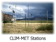
Data (including CLIM-MET) || Maps || People || Links

USAGov: Government Made Easy U.S. Department of the Interior, U.S. Geological Survey
This page is http://esp.cr.usgs.gov/info/sw/
Maintained by ESP Web Team
Last modified Thu 22-Mar-2007 15:37:35 MDT
Policies and Disclaimers