Link to USGS home

Mesa Verde National Park:

A Photographic Geology Tour

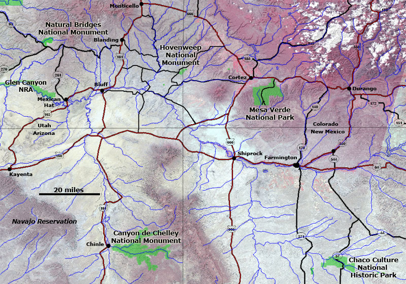
Click here to start a tour of Mesa Verde National Park. Click on any of the images to continue to the next page in the linked page series. Or, see a thumbnail gallery.

Click here to see tours of other national parks.


Map of the Four Corners region Click on the map or click on "next image" to see a series of park images. Click on park names to see other image tours of parks in the Four Corners Region.

next image
Natural Bridges National Monument Chaco Culture National Historic Park Canyon de Chelley National Monument Glen Canyon National Recreation Area Hovenweep National Monument Mesa Verde National Monument

Click here to see the same images in 3D photography. You will need red-and-cyan stereo viewing glasses to get the 3-D visual effects. Click here to see more 3D geology tours of National Parks.

Click here to learn more about Mesa Verde National Park (National Park Service website: http://www.nps.gov/meve).

Click here to see a geologic stratigraphic chart of Mesa Verde National Park.

This website was prepared by Phil Stoffer
USGS Western Earth Surface Processes Team, Menlo Park, California.

U.S. Department of the Interior - U.S. Geological Survey - Geology Discipline
Privacy statement -- General disclaimer -- Accessibility
This page is <http://3dparks.wr.usgs.gov/2005/mesaverde/index2.htm
Maintained by Webmaster, Menlo Park, CA
Last modified 7/30/2005

www.usa.gov: Your first click to the U.S. Government