| Census Data and Emergency Preparedness |  |
||||||
| Skip this navigation | |||||||
|
Data Tools for Iowa’s Flood Impacted Areas
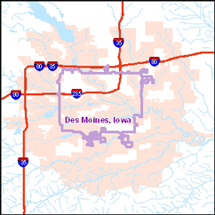
The Census Bureau provides a publicly available online tool called “OnTheMap” to provide a finer picture of the impacted areas. The Census Bureau produced two products that show the impact of the flooding in relation to where people live and work, using the online tool or publicly downloadable OnTheMap data. Characteristics and Maps:
The OnTheMap tool and information about downloadable data are available at http://lehd.did.census.gov. The data source is based on Local Employment Dynamics (LED), which is a federal-state partnership between the Census Bureau and the state Labor Market Information offices. OnTheMap has also been supported by the Employment and Training Administration of the U.S. Department of Labor. |
||||||
 On
June 15, 2008, the Federal Emergency Management Agency (FEMA) designated
24 counties in Iowa to be flood disaster areas where residents can apply
for federal assistance.
On
June 15, 2008, the Federal Emergency Management Agency (FEMA) designated
24 counties in Iowa to be flood disaster areas where residents can apply
for federal assistance.