LandView® 6
A Viewer for the Environmental Protection Agency, U.S. Census Bureau, and U.S. Geological Survey Data and Maps
Warning:
LandView 5 and LandView 6 are 32-bit applications and will not run on computers with
64-bit microprocessors.
Note: For RMP reporters who need to obtain the latitude and longitude of their facilities.
Released January 20, 2004. LandView 6 updates the Census 2000 statistical data as well as the EPA and USGS databases contained in LandView 5 that was released in November, 2002. If all you need to do is geocode addresses to census tracts or prepare EPA Risk Management Plans, then there is no need to upgrade from LandView 5 to LandView 6. Further Details on what's new in LandView 6
The LandView 6 and MARPLOT® software were created by agencies of the U.S. Government and are in the public domain. They can be copied, used and distributed freely without the requirement for royalty payments or further permissions. However, the Census Bureau cannot provide technical support for products created by others using LandView.
 LandView 6 Product Profile. [PDF]
For Product Ordering Information, go to the Home Page and click on the "Catalog" link. LandView 6 is available as a set of 2 DVDs, East and West.
Demo and Tutorial
On-line Help
LandView 6 Frequently Asked Questions
Previous Versions of LandView
What is LandView 6?
LandView has its roots in the CAMEO software (Computer-Aided Management of Emergency Operations). CAMEO was developed by the EPA and the NOAA to facilitate the implementation of the Emergency Planning and Community Right-to-Know Act. This far-reaching law requires communities to develop emergency response plans addressing chemical hazards and to make available to the public information on chemical hazards in the community.
This product contains both database management software and mapping software used in the CAMEO system to create a simple computer mapping system involving two programs - MARPLOT® and LandView.
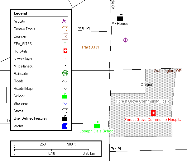
The MARPLOT mapping program allows users to map Census 2000 legal and statistical areas, EPA Envirofact sites, and USGS Geographic Names Information (GNIS) features.
The LandView database system allows users to retrieve Census 2000 demographic and housing data, EPA Envirofacts data and USGS GNIS information. The GNIS contains over 1.2 million records which show the official federally recognized geographic names for all known places, features, and areas in the United States that are identified by a proper name.
The LandView database software:
- Uses the Population Estimator function to calculate Census 2000 demographic and housing characteristics for user defined radii.
- Creates simple thematic maps of Census 2000 data.
- Allows users to browse and query the Census, EPA or USGS databases and show the query results on the map.
- Provides the capability to locate a street address or intersection on a map based on TIGER/Line® 2000 road features and address ranges.
The MARPLOT mapping software:
- Creates large scale maps showing Census 2000 legal and statistical entities, EPA Envirofacts sites, and USGS GNIS features. (A large scale map shows a small area with a large amount of detail.)
- Allows users to customize the maps by varying the scale and controlling which map layers are shown.
- Provides a search capability for map objects based on radius or map layer.
- Has tools that allow users to add information to the maps.
- Can automatically retrieve LandView database information for user selected map objects.
Comments or questions may be sent to: landview@geo.census.gov