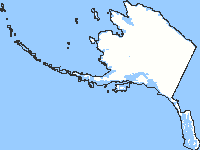
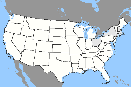
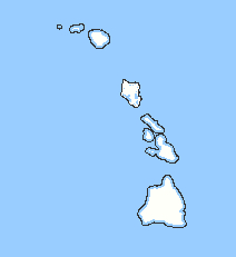
| OnTheMap Version 3 provides detailed maps showing where workers are employed and where they live with companion reports on age, earnings, industry distribution, and local workforce indicators. A total of 45 states are currently featured showing data for five years (2002 through 2006). Click on one of the "Information/Help" links to the right of the map for more information on using the application. | |||
|
Getting Started - Select a Geographic Area - Enter a geographic area (state, county, zip code, congressional district, metro area, city name, etc.) into the place name lookup box below. Then click the Enter button. If you are seeing this message your browser may not properly support the mapping application and it is recommended you use the "text-only" mode. |
OnTheMap Version 3Information/HelpWhat's New [PDF; File Size: 52KB]Getting Started [PDF; File Size: 1.64MB] Sample Analysis- Area Profile [PDF; File Size: 420KB] Sample Analysis- Shed [PDF; File Size: 352KB] Resource Links:LEHD HomeQWI Online Industry Focus Older Worker Profiles |
||
Getting Started - Click in the Map - Start by clicking at the center of the geographical area for your analysis. The application will open a regional map centered on the selected point.
|
|||


