 |
|
|
||||
| Earth Resources Observation and Science (EROS) |
Digital Elevation Models (DEMs)
| Contents: | 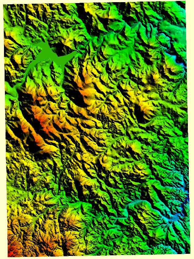 7.5-minute DEM |
|
back to Elevation Product List Product DescriptionDigital Elevation Models (DEMs) consist of a raster grid of regularly spaced elevation values that have been primarily derived from the USGS topographic map series. As of November 14, 2006, the USGS no longer offers Digital Elevation Models. For the most recent elevation coverage, please see the National Elevation Dataset. Additional Information: Back to TopSearch & Order
Back to Top |
| Accessibility FOIA Privacy Policies and Notices | |
 |
|