|
back to Aerial Product List
Product Description
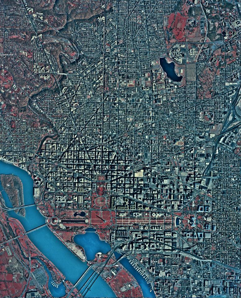
A Digital Orthophoto Quadrangle (DOQ) is a computer-generated image of an aerial photograph in which the image displacement caused by terrain relief and camera tilt has been removed. The DOQ combines the image characteristics of the original photograph with the georeferenced qualities of a map.
DOQs are black and white (B/W), natural color, or color-infrared (CIR) images with 1-meter ground resolution.
The USGS produces three types of DOQs:
- 3.75-minute (quarter-quad) DOQs cover an area measuring 3.75-minutes longitude by 3.75-minutes latitude. Most of the U.S. is currently available, and the remaining locations should be complete by 2004. Quarter-quad DOQs are available in both Native and GeoTIFF formats. Native format consists of an ASCII keyword header followed by a series of 8-bit binary image lines for B/W and 24-bit band-interleaved-by-pixel (BIP) for color. DOQs in native format are cast to the Universal Transverse Mercator (UTM) projection and referenced to either the North American Datum (NAD) of 1927 (NAD27) or the NAD of 1983 (NAD83). GeoTIFF format consists of a georeferenced Tagged Image File Format (TIFF), with all geographic referencing information embedded within the .tif file. DOQs in GeoTIFF format are cast to the UTM projection and referenced to NAD83. The average file size of a B/W quarter quad is 40-45 megabytes, and a color file is generally 140-150 megabytes. Quarter-quad DOQs are distributed via File Transfer Protocol (FTP) as uncompressed files.
A downloadable software is available (DOQQ-to-GeoTIFF conversion) which will convert a DOQ image from Native to GeoTIFF format in either NAD27 or NAD83.
- 7.5-minute (full-quad) DOQs cover an area measuring 7.5-minutes longitude by 7.5-minutes latitude. Full-quad DOQs are mostly available for Oregon, Washington, and Alaska. Limited coverage may also be available for other states. Full-quad DOQs are available in both Native and GeoTIFF formats. Native is formatted with an ASCII keyword header followed by a series of 8-bit binary image lines for B/W. DOQs in native format are cast to the UTM projection and referenced to either NAD27 or NAD83. GeoTIFF is a georeferenced Tagged Image File Format with referencing information embedded within the .tif file. DOQs in GeoTIFF format are cast to the UTM projection and referenced to NAD83. The average file size of a B/W full quad is 140-150 megabytes. Full-quad DOQs are distributed via FTP as uncompressed files.
A downloadable software is available (DOQQ-to-GeoTIFF conversion) which will convert a DOQ image from Native to GeoTIFF format in either NAD27 or NAD83.
- Seamless DOQs are available for free download from the Seamless site. DOQs on this site are the most current version and are available for the conterminous U.S.
Additional Information:
Prices
| Media |
3.75-minute B/W |
3.75-minute Color |
7.5-minute B/W |
| FTP, DVD |
$3.00 per file |
$3.00 per file |
$3.00 per file |
Search & Order
Sample Data
A 3.75-minute sample DOQ can be downloaded from USGS Geographic Data Samples.
|