
Program Plan
Document Actions
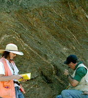 USGS Geologists Karen Wheeler and Ray Wells mapping deformation along the Gales Creek Fault Zone, northwestern Oregon. |
The NCGMP provides accurate geologic maps and three-dimensional framework models that help to sustain and improve the quality of life and economic vitality of the Nation and to mitigate natural hazards. Activities associated with the development of these maps and models are guided by a 5-year Program Plan. |
Created by
admin
Last modified 07-06-2007 11:12
Last modified 07-06-2007 11:12

