 |
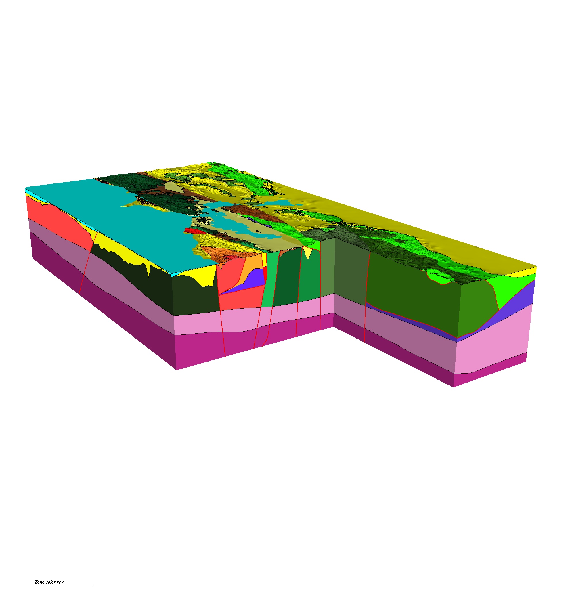
3D Geologic
and Seismic Velocity Model of the San Francisco Bay Region
A 3D model of faults and geologic rock units in the San Francisco Bay region is being used to
construct a velocity model for seismic waves as they travel under the region.
Seismic waves can be propagated through this velocity model to predict the shaking effects
of future earthquake at various sites depending and to explore the dependence on soil
conditions under given sites.
|
 |
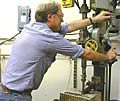 |
Borehole
Geophysics and Rock Mechanics
Using borehole geophysical measurements in conjunction with
laboratory studies, scientists study heat flow, stress, fluid
pressure, and the mechanical behavior of fault-zone materials
at seismogenic depths to yield improved models of the earthquake
cycle. |
|
 |
Crustal
Deformation
Plate motion produces distortion or deformation in the surface
of the earth near active faults. Several techniques are used
to measure this deformation, including GPS, 2-color Electronic
Distance Meters (EDMs), strain meters, magnetometers, tilt meters,
and water level monitors. |
|
 |
Crustal
Structure
Geophysicists use refraction and reflection techniques (usually
involving explosion-generated seismic waves) to learn about
the material structure of the Earth's crust (its density, wave
propagation speeds, thickness, layering and faulting). |
|
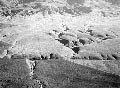 |
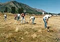
Geology
Geologists learn about future earthquakes by looking at evidence
left behind by past earthquakes, such as fault traces (the "footprints"
of fault motion at the Earth's surface), offset natural and
man-made features (which mark relative movement across a fault),
and the disruption of sedimentary layers (as revealed in trenches). |
|
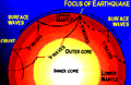 |
Seismology
The locations of earthquakes reveal where active faults are
located and where faults may be "locked." Studies
of the waves from these earthquakes help map the structure of
the Earth's crust, the orientation of stresses in it, and the
movement of the faults within it. |
|
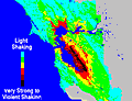 |
Strong
Motion Seismology
Near large earthquakes, seismic waves have large amplitudes.
Studying this strong shaking requires specialized sensors and
produces information used in developing building codes and in
designing earthquake-resistant structures such as buildings,
bridges, and highways. |
|
|
Earthquake
Hazards Program: Project Proposals
Current research activities supported by the USGS Earthquake
Hazards Program.
External
Research Program
The USGS invites research proposals that will assist in achieving
the goals of the National Earthquake Hazards Reduction Program
(NERHP)
Access to Earthquake
Data
Links to numerous government agencies and non-government organizations
that provide earthquake data.
|