North Dakota Water Science Center

What's NewData CenterSurface WaterGround Water Water Quality Water Use More Data Information CenterRed River BasinDevils Lake Basin Missouri River Basin North Dakota Wetlands Annual Data Reports Lewis & Clark and the USGS Canoeing North Dakota's Rivers Education USGS IN YOUR STATEUSGS Water Science Centers are located in each state. 
|
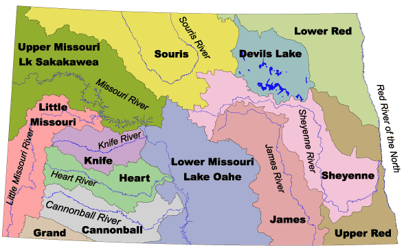
North Dakota Basin MapsFor current streamflow conditions, left-click inside the desired basin. A list of real-time gaging stations in that basin will appear. Then, click the station number for the desired basin. Alternately, click on one of the basins named below the map.
|
||||

![]() U.S. Department of the Interior |
U.S. Geological Survey
U.S. Department of the Interior |
U.S. Geological Survey
URL: http://nd.water.usgs.gov/data/basinmap.html
Page Contact Information: Webmaster
Page Last Modified: Tuesday, 12-Feb-2008 13:12:52 EST