The USGS Toxic Substances Hydrology (Toxics) Program conducts geophysical investigations and applied research at a variety of the Program’s research sites. In most cases geophysical activities complement and extend the other research activities at the sites. The objectives of the work are to use geophysical methods to characterize and monitor the processes and properties that affect the migration of a diverse set of contaminants in the subsurface and to develop and modify geophysical methods for the detection, characterization, and monitoring of subsurface contamination. Emphasis is placed on providing increasingly quantitative spatial and temporal information about subsurface structure and the distribution of contaminants. The Toxics Program disseminates the results of this research to environmental professionals through publications, presentations, and technology transfer and training programs. The information presented on this page cuts across lines drawn by individual investigations and projects so that information on the application of geophysical methods to contaminant studies can be presented in one place.
Investigations and Research Activities
Fact Sheets
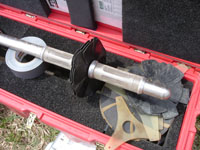
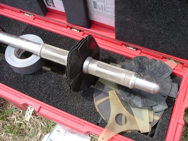
A close-up view of a heat-pulse flow-meter tool. The tool is used to determine the vertical flow-rate of ground water in boreholes at the site. This information is used to determine the hydraulic properties of fractures during ambient and pumping conditions
(Click on Image for a Larger Version)
|
Headlines
Bibliography
Upcoming Publications
- Electrical characterization of non-Fickian transport in groundwater and hyporheic systems: Singha, K., Pidlisecky, A., Day-Lewis, F.D., and Gooseff, M.N., Water Resources Research, WR007048, doi:10.1029/2008WR007048 (IN PRESS).

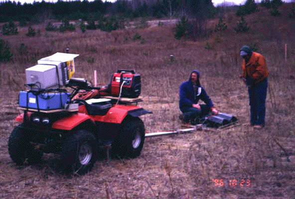
USGS scientists conducting a ground penetrating radar (GPR) survey at the south subsurface oil pool at the Bemidji, MN, Crude Oil Spill Research Site
(Click on Image for a Larger Version)
|