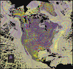
Crustal Imaging and Characterization Team
 The USGS Crustal Imaging & Characterization Team (CICT) located in Lakewood, Colorado, applies a broad spectrum of earth-science expertise to help understand and solve a wide variety of pressing societal issues. The Team's specialists in geophysics, environmental and isotope geochemistry, GIS and computer sciences, botany, analytical chemistry, and structural geohydrology, lead and participate in interdisciplinary science projects for USGS programs, other Federal and State governmental agencies, and other nations. The Team's ultimate goal is to provide accurate, dependable, and impartial scientific research on, and technology development for, mineral-environmental, mineral-resource, human health, ecological hazards, and other science issues in a manner that informs the public and helps governmental policy and decision making.