 |
|
|
||||
| USGS › Geography › Earth Resources Observation and Science (EROS) Center |
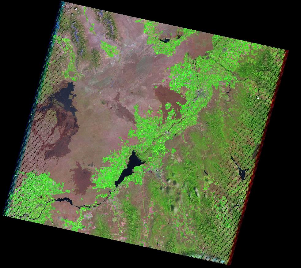
In the past, the U.S. Geological Survey (USGS) and the National Aeronautics and Space Administration (NASA) collaborated on the creation of three global land datasets using Landsat data: one from the 1970s, and one each from circa 1990 and 2000. Each of these global data sets was created from the primary Landsat sensor in use at the time: the Multispectral Scanner in the 1970s, the Thematic Mapper (TM) in 1990, and the Enhanced Thematic Mapper Plus (ETM+) in 2000.
USGS and NASA collaboration have extended the Global Landsat Data collection with the addition of core acquisition dates from 2005 to 2006. The data to be included will consist of both Landsat TM and ETM+ imagery, making GLS the first ever global dataset built with data from two sensors.
Direct downlink to a ground station is the only way to acquire Landsat 5 TM data, because unlike Landsat 7, the Landsat 5 satellite does not have an onboard solid-state recorder. To obtain Landsat 5 TM imagery for areas outside the United States, the USGS negotiated agreements with ground stations around the globe to downlink and send data to the USGS Landsat Ground Station. These agreements make thousands of additional Landsat 5 TM scenes available for GLS consideration.
The USGS Landsat Ground Station archives nearly 100,000 new Landsat 7 ETM+ images every year. These images are a record of nearly all the land area on Earth. The Landsat 7 ETM+ and Landsat 5 TM data incorporated into the GLS dataset must meet quality and cloud cover standards. Data recorded in 2004 and 2007 will be used only as needed to fill areas of low image quality or excessive cloud cover.
The GLS dataset will only be scene-based (other decadal datasets also included mosaics), and individual scenes will be made available as they are processed. Landsat 7 ETM+ scenes from the Global Land Survey are available. Landsat 5 TM scenes will not be available until late 2008.
http://landsat.usgs.gov/index.php
The following data products are available from the Global Land Survey data collection:
The average acquisition date for the GLS 2005 is 2005 (+/- 3 years).
All scenes were acquired between 2004 and 2007. The GLS 2000 data was used to correct this dataset.
GLS 2005 will continue to grow as we complete this collection.
| GLS 2000 | GLS 2005 | |
|---|---|---|
| Level of Processing | Terrain Corrected | Terrain Corrected |
| Number of bands (Band Designations) |
8 | 8 |
| Resolution | 30.0m | 30.0m |
| Projection | Universal Transverse Mercator (UTM) | Universal Transverse Mercator (UTM) |
| Datum | WGS84 | WGS84 |
| Resampling | Cubic Convolution | Cubic Convolution |
| Format | GeoTIFF | GeoTIFF |
| Download | Available | Available |
Global Land Survey 2000 and 2005 datasets are available to search and download through EarthExplorer and GloVis.
Note: The full Tri-Decadal Global Landsat Orthorectified data collection selection consisted of approximately 7,500 MSS (Landsat 1-5), 7,461 TM (Landsat 4-5), and 8,500 ETM+ (Landsat 7) images. However, not all of these images are currently available for search and order from EROS at this time. Users will need to run a search to determine the scene availability for any given location.
| Accessibility FOIA Privacy Policies and Notices | |
 |
|