 |
|
|
||||
| Earth Resources Observation and Science (EROS) |
Advanced Very High Resolution Radiometer (AVHRR)
| Contents: |
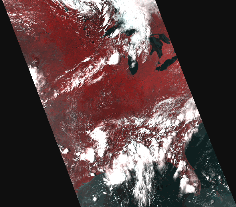 AVHRR Level 1B scene |
|
back to Satellite Product List Product DescriptionThe Advanced Very High Resolution Radiometer (AVHRR) provides four- to six-band multispectral data from the NOAA polar-orbiting satellite series. There is fairly continuous global coverage since June 1979, with morning and afternoon acquisitions available. The resolution is 1.1 kilometer at nadir. The number of available bands will depend on the satellite. Satellite information is listed here. Available from the EROS archive:
Raw (Level 1b) data consists of a single scene that was collected by a single AVHRR satellite on a specific date and time. The approximate scene size is 2400 x 6400 kilometers (1491 x 4000 miles). Public distribution is via the NOAA Satellite Active Archive. Additional Information:
Global 1KM AVHRR Back to TopPrices
Back to TopSearch & Order
Back to Top |
| Accessibility FOIA Privacy Policies and Notices | |
 |
|