|
CLICK PHOTOS FOR AN ENLARGED VERSION
|
|

A view of the berm of the Normal Municipal Landfill, OK, and the area that
overlies the leachate plume
|

Map of the study area showing well transect location and ground-water flow direction
|

Collecting pore waters from a core to determine natural attenuation rates
|
|

USGS scientist using a syringe to withdraw water for analysis of geochemical parameters
|

Passive-diffusion samples ("peepers") are driven into a wetland to observe the geochemistry of the leachate plume's discharge area |

USGS scientists analyzing water samples in the field |
|

Gas samples are collected from an unsaturated zone well to study the natural biodegradation of contaminants |

A dual-frequency GPS receiver is used to survey passive-diffusion samples ("peepers") in a wetland at the leading edge of the leachate plume |

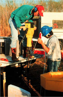
Installation of a well in the unsaturated zone above the leachate plume |
|

USGS scientists analyzing samples for a study of the microbial-mediated degradation of landfill leachate |

USGS scientist collecting water samples from a multilevel monitoring well |

Collecting water samples anaerobically in a glove bag to accurately measure redox-sensitive parameters |
|

Collecting samples anaerobically in a glove bag as part of a study of the biogeochemistry of the landfill leachate plume |

Sampling redox-sensitive water-quality parameters on-site
|

USGS scientists installing a drive point well for contaminant transport studies
|