Significant Topographic Changes in the United States
|
|
|
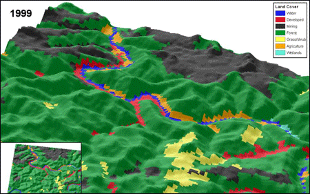
Topographic Change The USGS has developed a national inventory of significant topographic changes based on seamless multitemporal elevation data and land cover data. The National Elevation Dataset (NED) and the Shuttle Radar Topography Mission (SRTM) data form a unique pair of seamless elevation datasets that can be used to detect and analyze 20th century topographic surface changes in the United States. The need for more comprehensive information on the nature and extent of recent human geomorphic activity led to a spatial emphasis for the first ever accounting of topographic change across the United States. Historical NED data values were subtracted from the recently collected SRTM data to determine significant topographic changes. The National Land Cover Dataset (NLCD) provided land cover information at a 30-meter resolution that matched the NED and SRTM data. The primary types of topographic changes resulting from human geomorphic activity include surface mining, road construction, urban development, dam construction, and landfills. |

![]() U.S. Department of the Interior |
U.S. Geological Survey
U.S. Department of the Interior |
U.S. Geological Survey
URL: http://topochange.usgs.gov/index.php
Page Contact Information: custserv@usgs.gov
Page Last Modified: August 20, 2008