NOAA's National Weather Service is undertaking research on how satisfied
users are with its flood and water forecast services which include flash
flood and river flood warnings, watches and statements; recreational and
water supply forecasts; and precipitation analysis. We ask you to consider
completing the survey.
On October 16, 2007, the latitude and longitude specifying the position of each grid in the
AHPS (Advanced Hydrologic Prediction Service) observed precipitation shapefiles will be
shifted from the lower left corner to the center of each 4x4 km grid cell. This provides
spatial referencing more commonly used in contemporary geospatial analysis...
more
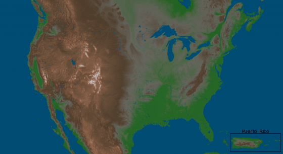
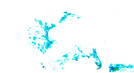
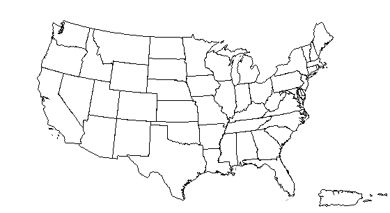
CONUS + Puerto Rico: Current 1-Day Observed Precipitation Valid at 9/19/2008 1200 UTC - Created 9/20/08 10:30 UTC
»
»
»
Year:
Month:
Day:
NOTE: If you would like to bookmark or share your current view, you must first click the "Update URL for Bookmarking" button. The URL in your browser window can then be bookmarked or shared.