The MODIS Land Science Team has developed coarse 5km versions of
selected products to enable synoptic
quality assessment via the internet.
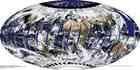
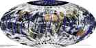
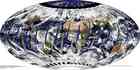
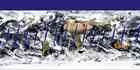
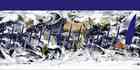
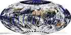
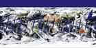
The coarse spatial resolution products are projected into a global coordinate
system defined with pixel sizes corresponding to 20km in the
Hammer-Aitoff projection (except for the Sea Ice products that have 14.15km
pixels defined in the Lambert Azimuthal projection).
These global browse images are generated with fixed contrast stretching and
color look-up tables to enable consistent temporal comparison. This web
interface has been developed to support interactive selection of browse
products and zooming and
panning at 5km resolution. The global browse images available
on this web site should not be used for scientific analyses.
Full spatial resolution golden tile browse images are also available at select locations.
Note: Global browse images are not available for all MODIS Land products or all collections, please click here for the current browse availability information.
C5 Sea_Ice (work in progress): Image of "Ice Surface Temperature" will be displayed in place of Sea_Ice for night time since Sea_Ice is not retrieved for night time granules.
![]()


/GLOBAL2009_01_06_006.gif)

/GLOBAL2009_01_05_005.gif)


/GLOBAL2009_01_04_004.gif)

/GLOBAL2009_01_03_003.gif)

/GLOBAL2009_01_02_002.gif)


/GLOBAL2009_01_01_001.gif)

/GLOBAL2008_12_31_366.gif)


/GLOBAL2008_12_30_365.gif)