Local weather forecast by
"City, St" or zip code |
Search
by city or zip code. Press enter or select the go button to submit request
|
| |
NEW Download
the latest Rio Grande Valley online audio weather discussion!
(mp3 format, updated at 10 AM daily)
| Click on map for Pin-Point Forecast (What is pinpoint forecast?)
|
| Click on the map below for the latest forecast. |
 |
En Español |
|
|
|
|
|
| Last map update: Mon, Oct. 27, 2008 at 10:33:19 am CDT |
|
|
|
|
|
Radar

Latest Brownsville Radar
|
Satellite

Latest GOES 8 IR Image
|
Weather Map

Today's significant weather
|
Tropical Atlantic Satellite

Latest GOES 8 IR Image
|
Gulf of Mexico Satellite
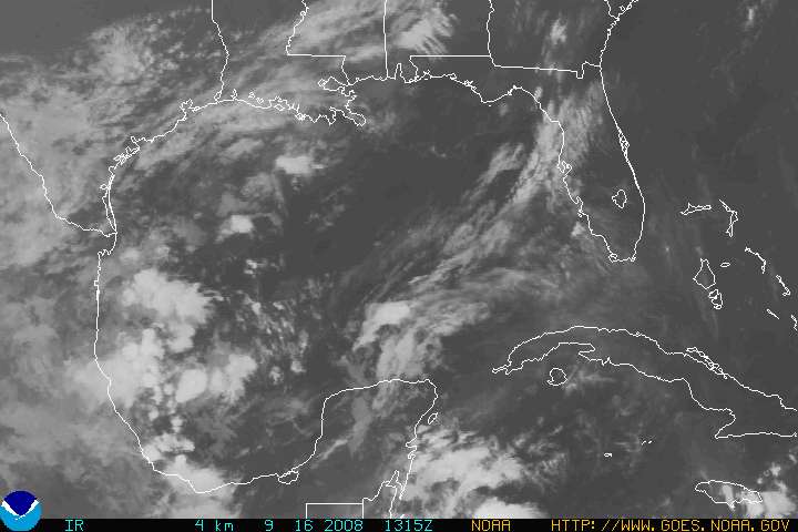
Latest GOES 8 IR Image
|
Western Hemisphere IR Satellite

|
TROPICAL WEATHER
TROPICAL WEATHER STATEMENTS AND GRAPHICS
HURRICANE AWARENESS
|

 National Weather Service Forecast Office


