|
|
Local Aviation Flight Conditons
|
Aviation Weather
Local Aviation Flight Conditons
|
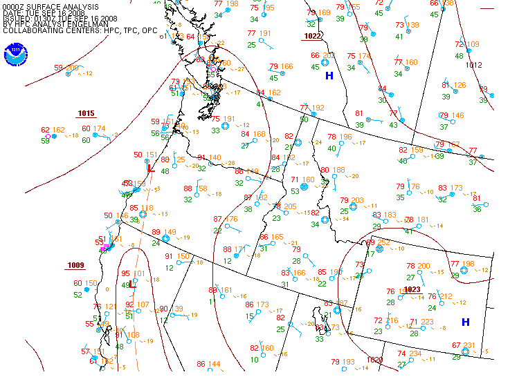
| Current and Recent Pacific NW Surface Analyses |
For local time, subtract 7 hrs during MST (or 6 hrs during MDT)
(12Z would be 6 AM MDT / 7 AM MST)
00Z |
03Z |
06Z |
09Z |
12Z |
15Z |
18Z |
21Z |
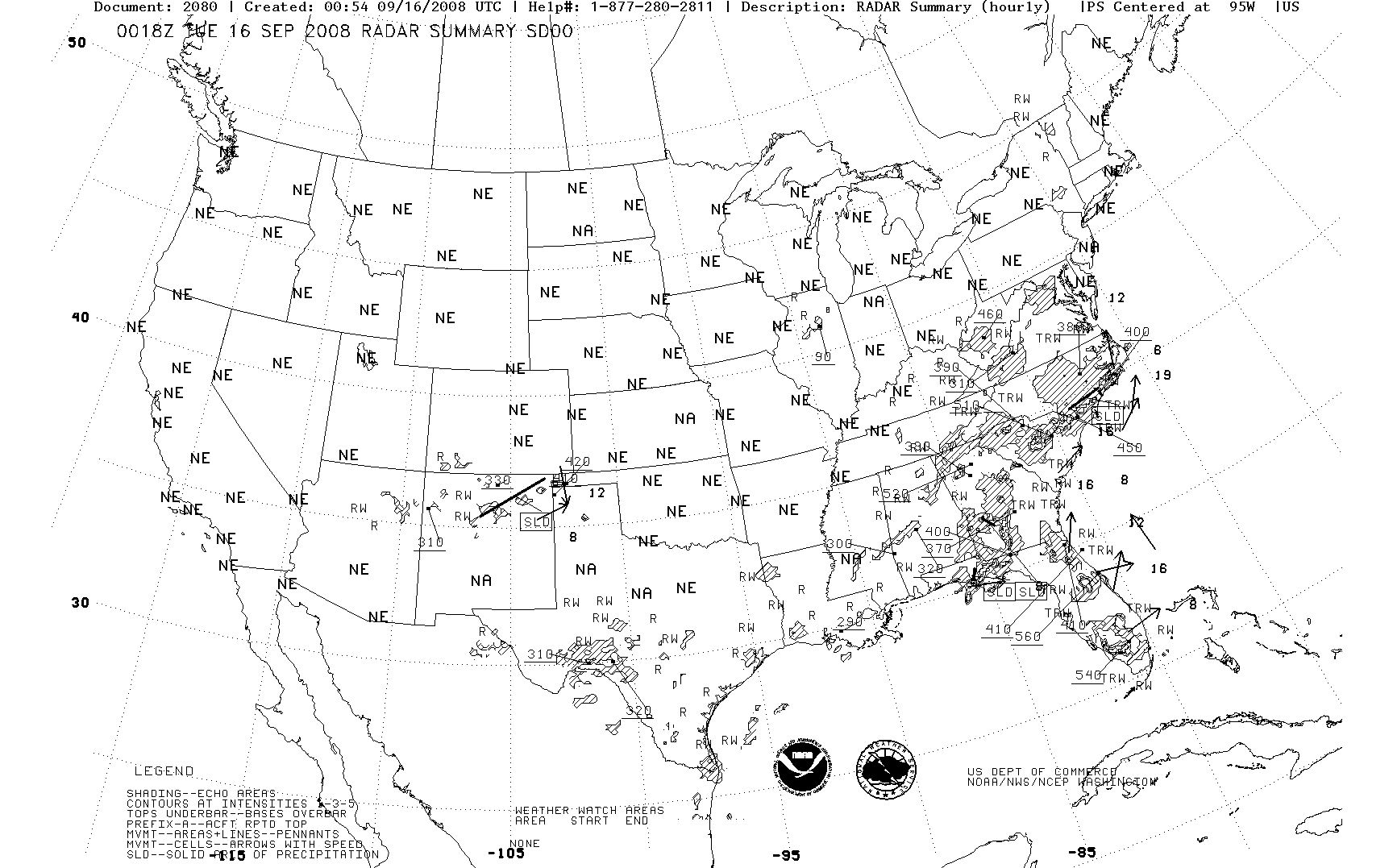
Other Plots
Click hour to enlarge, or move mouse over links to change images
 |
|
|
|
Webmaster
US Dept of Commerce
National Oceanic and Atmospheric Administration
National Weather Service
Billings Weather Forecast Office
2170 Overland Avenue
Billings, Montana 59102-6455
Tel: (406)652-0851
|
Disclaimer
Information Quality
Credits
Glossary |
Privacy Policy
Freedom of Information Act
About Us
Career Opportunities
|
National Weather Service Mission: "The
National Weather Service (NWS) provides weather,
hydrologic, and climate forecasts and warnings for
the United States, its territories, adjacent waters
and ocean areas, for the protection of life and
property and the enhancement of the national economy.
NWS data and products form a national information
database and infrastructure which can be used by
other governmental agencies, the private sector,
the public, and the global community." |
|
|


