Home>Satellite Imagery

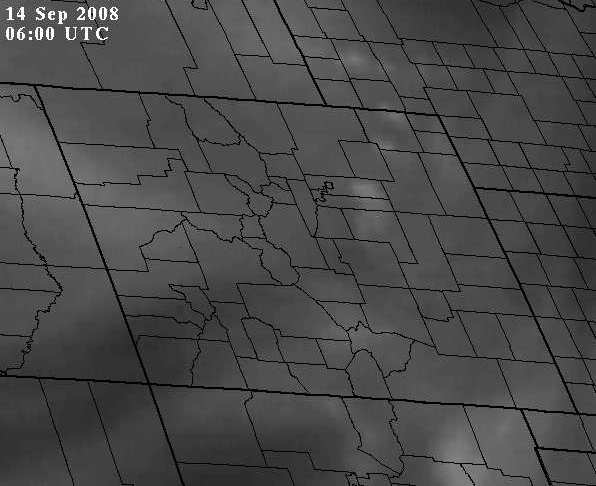
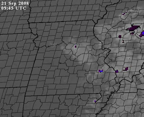
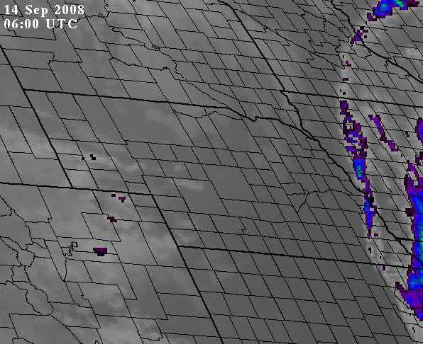
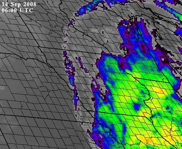
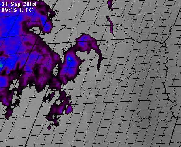
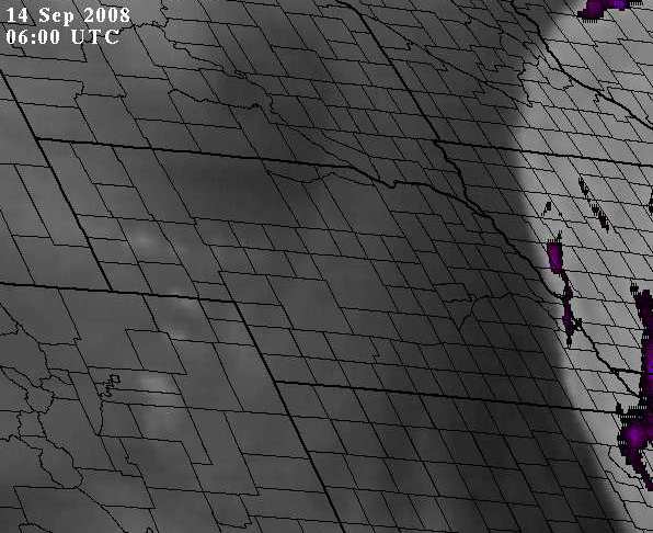
Click on the image in the above frame for a loop
Miscellaneous Satellite Imagery
Central U.S. United States Western U.S. North America Gulf of Mexico
Satellite Imagery of the Central United States GOES East Satellite Imagery Over the United States GOES West Satellite Imagery Over the  Western United States North American Satellite Imagery Satellite Imagery Over the Gulf of Mexico and Caribbean
Additional Links to Satellite Imagery
Conventional Imagery
NESDIS Realtime Satellite Images
NESDIS SSD North American GOES Imagery
NESDIS SSD Atlantic and Caribbean Tropical Satellite Imagery
NESDIS SSD East and Central Pacific Imagery
NASA-GHCC Interactive Global Geostationary Weather and Satellite Images
NASA-GSFC GOES Data
FSL National Scale Satellite Image Loops
GOES Derived Products
NESDIS GOES Sounder Temperature and Moisture Products
NESDIS Satellite Derived Winds
NESDIS Derived Product Imagery
NESDIS Cross Sections
NASA-GHCC GOES Imager Products
Full Disk Imagery
MTSAT
METEOSAT
INDOEX
Text Messages and Bulletins
NESDIS General Satellite Messages
NESDIS Special Bulletins
Other Sites of Interest
College of DuPage
NCAR
RAMSDIS
SSEC
Index of Links to Other Satellite Pages

  • NOAA's National Weather Service
  • North Platte, NE Weather Forecast Office
  • 5250 E. Lee Bird Drive
  • North Platte, NE 69101-2473
  • 308-532-4936
  • Page Author: LBF Webmaster
  • Web Master's E-mail: w-lbf.webmaster@noaa.gov
  • Page last modified: 16-Sep-2008 9:59 PM UTC
USA.gov is the U.S. government's official web portal to all federal, state and local government web resources and services.