| weather.gov |

 National Weather Service Forecast Office
Melbourne, FL |
|||||
|
|
|||||||
|
|
Surface Weather Data Acquisition Program and Records Data used on the internet page: Data used on the internet page, and in daily operations at the NWS office, comes from a variety of sources across the area. Programs include Automated Surface Observation System (ASOS), the Cooperative Network, NOAA data bouys, and data gathered from other agencies and organizations. We also gather rainfall data from spotters across the area, but it is not in a format conducive to posting on the internet, and there is no quality control. Data from some sources is readily available in "real-time", and some is not. Most of the NWS data on our internet page comes from these sources. Data from sources that are not "real-time" is used in some operations, and in climatological at the National Climatic Data Center, but not posted here. Data used on the internet site on the "Monthly Report" page comes from the following sites: Click the name for a description of the site. Weather Records: Monthly and daily weather records are provided on the internet as a
service for our users. While we
feel the data is accurate, it is not CERTIFIED. Non-certified data is suitable for
"nice-to-know" cases, where a legally certified document is not
needed. If you need certified data for legal purposes, the you should contact
the following:
These, and other data archive sites, are also referenced here. This is an Automated Surface Observation System, located at the Orlando-Sanford
International The Anemometer (wind measuring device) Mast Height: 26 ft. Here is a picture of the site, looking South.
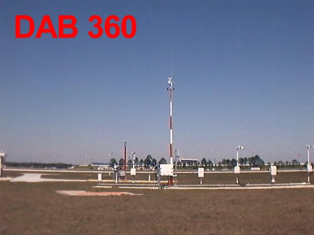
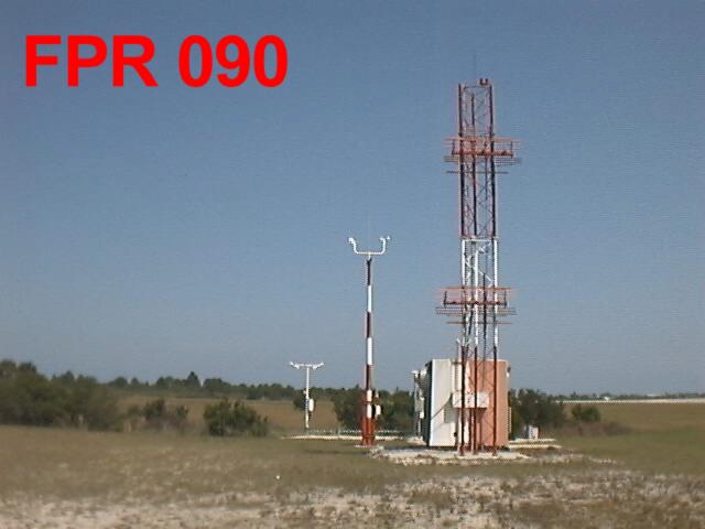
This is an Automated Surface Observation System, located at the Daytona Beach International Airport. The Anemometer (wind measurement device) Mast Height: 33 ft. Here is a picture of the site, looking to the north. The
International Speedway is visible in the
Data from this site is augmented by observers.
Official weather data for Melbourne is gathered by the FAA at Melbourne International
Airport, using ASOS.
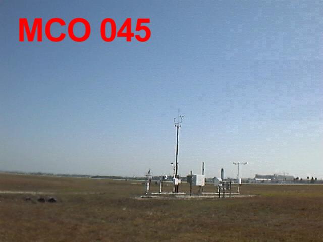
Orlando, Florida The Anemometer (wind measuring device) Mast Height: 26 ft. Here is a picture of the site, the terminal complex and air traffic
control tower are visible in the
Data from this site is augmented by observers.
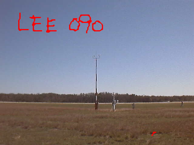
This is an Automated Surface Observation System, located at Leesburg (Lake County) Airport. The Anemometer (wind measuring device) Mast Height: 33 ft. Here is a picture of the site, looking east.
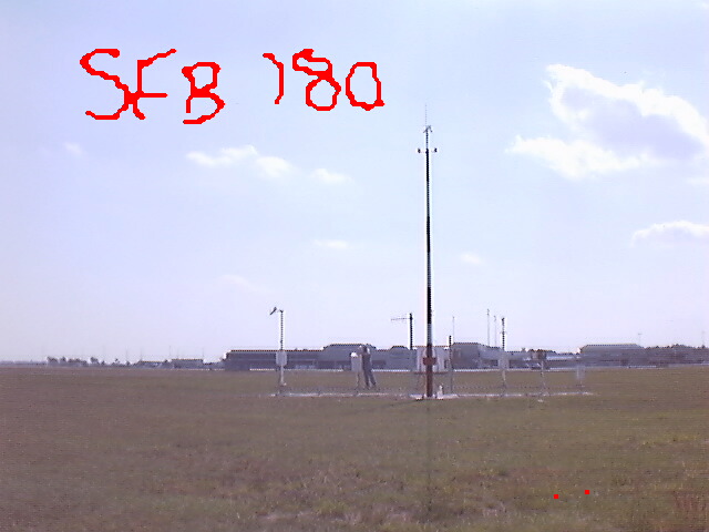
Data from this site is NOT augmented by observers, and the site does not have any backup electrical power. Data may be lost when there is an interruption in utility power. This is an Automated Surface Observation System, located at the St. Lucie International Airport. The Anemometer (wind measuring device) Mast Height: 26 ft. Here is a picture of the site, looking east.
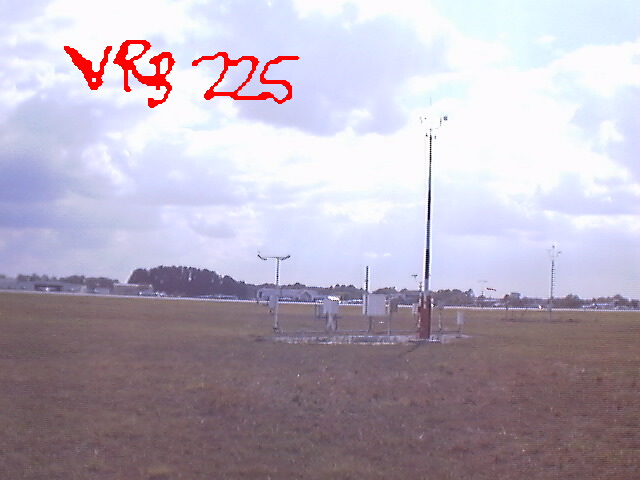
Data from this site is augmented by observers, part-time. Weather from Vero Beach is gathered by the FAA Automated Surface Observation System, located at Vero Beach Airport. The Anemometer (wind measuring device) Mast Height: 33 ft. Here is a picture of the ASOS site, looking south to the terminal building.
|
|||||||||||||
|
||||||||||||||