|
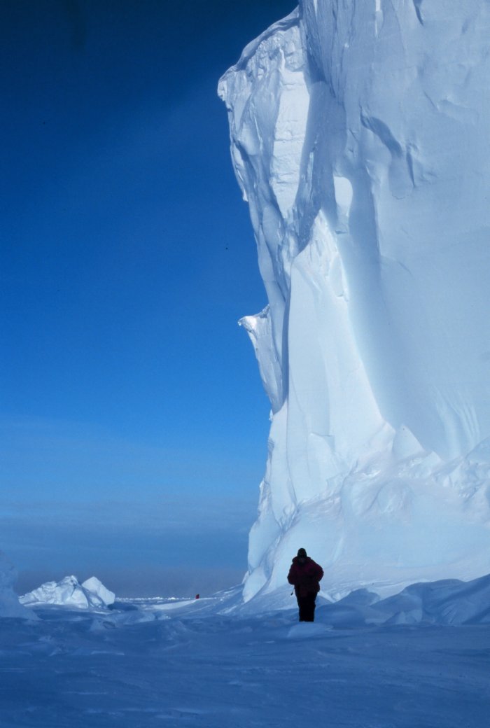
The Ross Ice Shelf at the Bay of Whales. This is the southern-most navigable
point on the planet and the point where Amundsen started his successful
trek to the South Pole. 78 30 S Latitude 164 20W Longitude.
|
Image ID: corp2521, NOAA At The Ends of the Earth Collection
Location: Ross Sea, Antarctica
Photo Date: 1999 January
Photographer: Michael Van Woert, NOAA NESDIS, ORA
• High Resolution Photo Available
|
|

