Congressional Districts of the 108th Congress
of the United States Wall Map
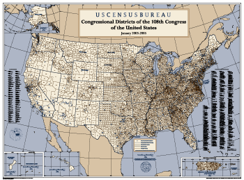
This
wall map (44.5 by 33 inches) depicts congressional district boundaries
in effect for the 108th Congress of the United States (January 2003-2005).
The map includes county names and boundaries for each state, the District
of Columbia, Puerto Rico, American Samoa, Guam, and the U.S. Virgin
Islands. The map also includes a listing of the names of all members
of the 108th Congress, as of February 10, 2003. Printed copies of the
map are available from the U.S. Census Bureau by calling (301) 763-1128. Price: $20.00.
|