Local forecast by
"City, St" or zip code |
|
|
 |
Satellite Weather
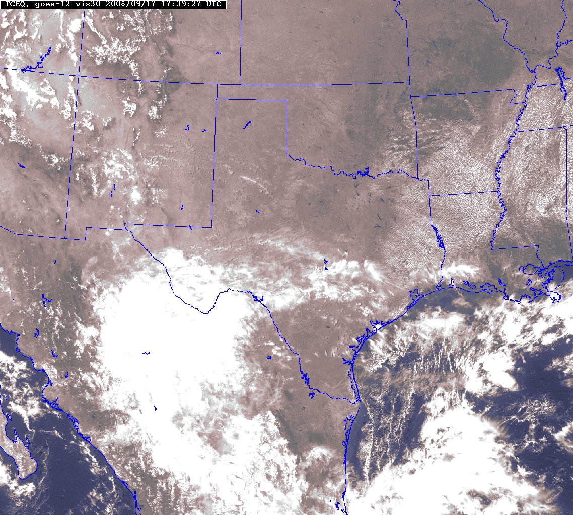
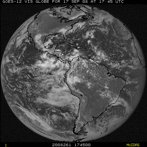
 Visible Images
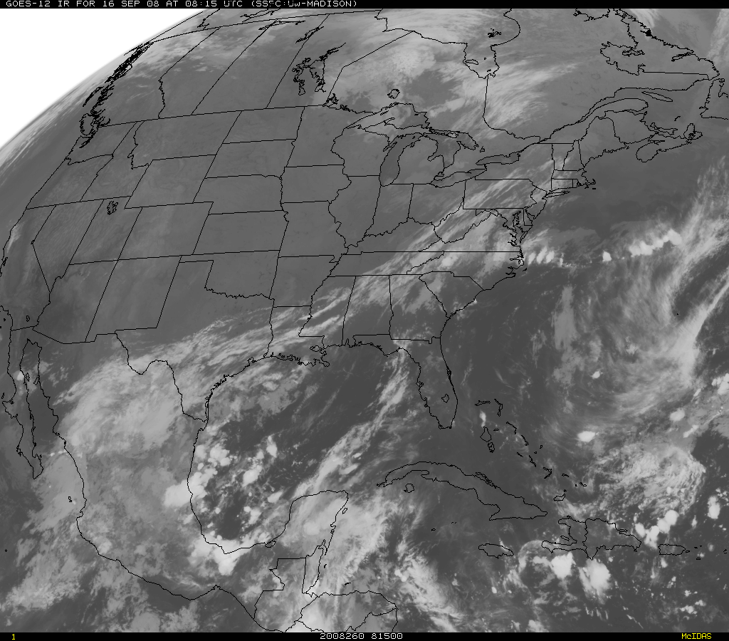
Infrared Images
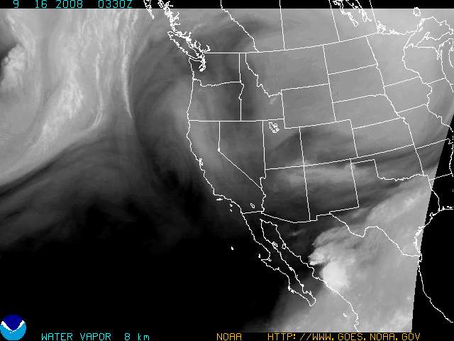
Water Vapor Images
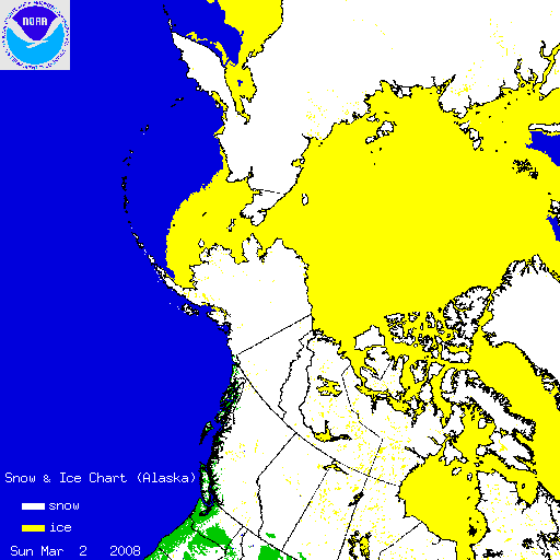
Derived Images
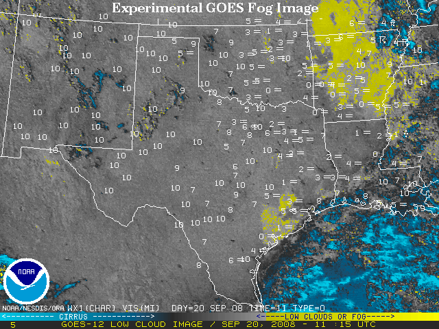
Fog and Aviation Products
Stability Products
-
-
-
-
-
Precipitation Products
-
-
-
-
-
-
-
-
-
-
-
Other
Satellite Products
Tropical Images
Atlantic Ocean
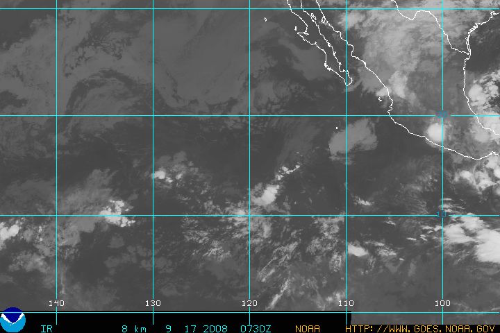
Pacific Ocean
International Satellite Images
MTSAT -- over 135° East Longitude
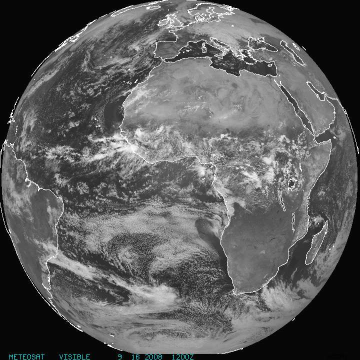
METEOSAT-7 -- over Zero° Longitude
METEOSAT-5 -- over 63° East Longitude
Other Satellite Data and Links
|


