A catalog of NASA images and animations of our home planet
Skip Navigation (key s)
.
Home
Terms of Use
Frequently Asked Questions
Browse By:
Satellite
Sensor
Collections
Country
U.S. State
GCMD Topic
All Categories
»
GCMD Topics
»
Solid Earth
SRTM Radar - Landsat Image …
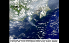
Smoke from Mount Oyama
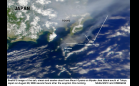
Smoke Cloud from Mount Oyama …
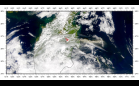
Sheveluch Volcano Eruption Ash
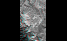
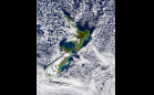
SRTM Anaglyph: Wheeler Ridge, …
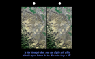
SRTM Stereo Pair: Wheeler Ridge, …
Perspective with Landsat Overlay: …
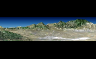
ASTER: Andes
SeaWiFS: White Island Eruption Plume
Tectonic Map of North Pole
Tectonic Map of South Pole
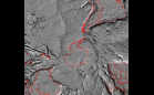
SRTM: San Andreas Fault in the …
ASTER: Death Valley
AIRSAR: Upolu Island, Western Samoa
AIRSAR: Upolu Island, Western Samoa
ASTER: Escondida Mine, Chile
Sort By: Data Date
↑
↓
Visualization Date
↑
↓
ID
↑
↓
«
‹
1
2
3
4
5
6
7
8
9
10
11
12
13
14
15
16
17
18
19
›
»
Subcategories
Geochemistry
(0)
Geodetics/Gravity
(0)
Geomagnetism
(3)
Geomorphology
(2)
Geothermal
(0)
Natural Resources
(3)
Rocks/Minerals
(11)
Seismology
(12)
Tectonics
(37)
Volcanoes
(415)