
Data Used in Coastal Gulf of Alaska Modeling Efforts
|
MM5 Atmospheric Variables
NCEP/NCAR Reanalysis Atmospheric Variables
| 1995 | 1997 |
|---|---|
 |
 |
The NCEP/NCAR Global Reanalysis Project is an effort to create a global data set of atmospheric variables by combining a global spectral model with historical data. The model has been run for the years 1958-present, and the output is available online. Resolution of these data is roughly 2 degrees, but it varies since the model uses a T62 Gaussian grid with 192x94 points. Temporal resolution is 6 hours, but we have chosen to use their daily averages.
Daily average data for latent and sensible heat net flux, and net longwave and
shortwave radiation in W/m^2 were downloaded separately, multiplied by -1,
and summed to provide total heat flux from the ocean. For SCRUM, positive is
downward flux and heating of the ocean.
Daily average U-wind and V-wind at 10m in m/s were
downloaded, and windstress was computed from them using the formula:
tao = Cd * U10 * |U10|
where Cd = .0012.
Freshwater Input
Southcoast and Southeast Coast discharge represent the integrated flux of freshwater input as derived from snowpack, precipitation and temperature data by Tom Royer , Old Dominion University. These data are available for the years 1933-1998. The Southeast Coast region begins at the southern border of Alaska and it extends northward to a location between Glacier Bay and Yakutat Bay. The Southcoast extends northward from there to include the southern side of the Kenai Penisula. These regions are roughly equivalent to 130W-141W and 141W-152W longitude.
The river discharge data were obtained from the USGS. The Susitna and Copper Rivers were among the few that were gauged, but there were not many years of data for either. Therefore, a monthly climatology was computed with all the available data, and this will be used for every model year. Data were converted from ft^3/s to m^3/s. Note how little discharge is provided by these large rivers, as compared to the integrated discharge.
Tides
Tidal forcings are computed from Mike Foreman's northeast Pacific Ocean high-resolution assimilating tide model (Foreman et al., 2000) and are applied along the open boundaries of the model domain.
Bathymetry
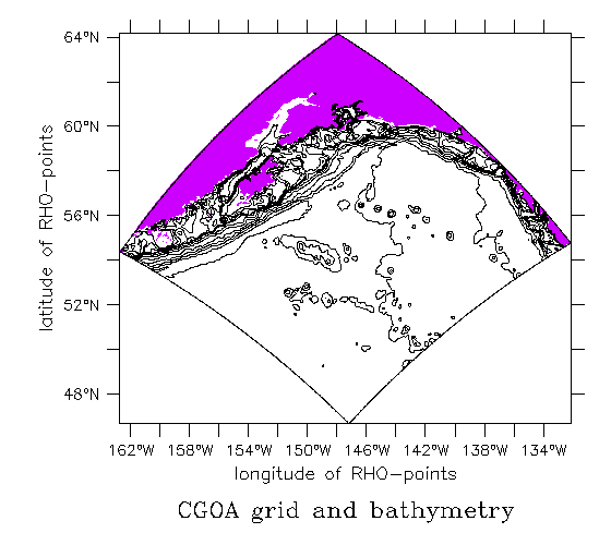
Npac uses ETOPO5
NEP uses ETOPO5 with enhanced bathymetry in the Gulf of Alaska, as
described
Contents last updated
by
Elizabeth.Dobbins@noaa.gov
US Department of Commerce |
NOAA |
OAR |
PMEL
 http://www.pmel.noaa.gov/~dobbins/forcing03/index.html
Links do not imply government endorsement of linkee.