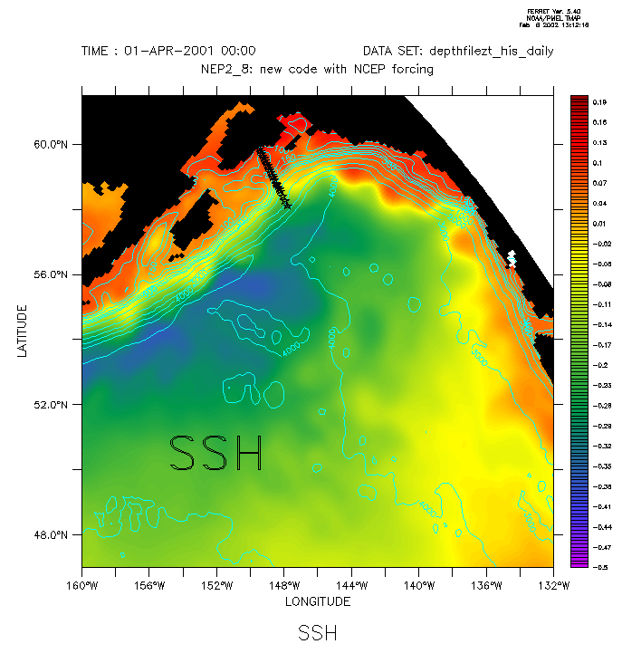
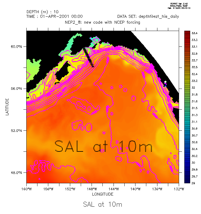
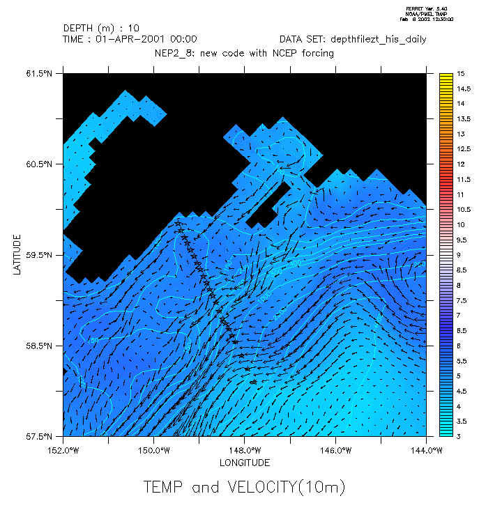
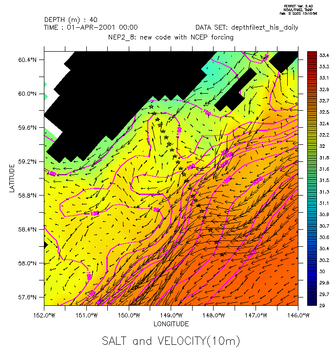
Northeast Pacific Model Animations
Click on the
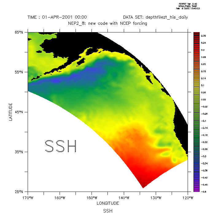
images below for animations - they are in animated gif format, and should
work on any browser. For smoother results, download and play in the Quicktime
player (which accepts animated gifs). In the plots below, stars indicate
the location of the GAK line stations, and blue vectors which appear in
the salt and velocity animation are real data from moorings.


HOME
Contents last updated
Al Hermann - Albert.J.Hermann@noaa.gov
 http://www.pmel.noaa.gov/~hermann