Fire Weather
Spot Forecasts
Request a Spot Forecast -- Official Use Only
Observations
Airport Observations -- Wisconsin
Real-time Observation Monitor and Analysis Network -- ROMAN
4-Panel Observed Weather Map -- USFS
Observed Hourly NFDRS Indices -- Wis. DNR
Fire Danger Class Map -- Latest public ratings, USFS
Visual Greenness Map -- Most recent weekly composite, USFS
Haines Index Map -- USFS
Fuel and Soil Moisture Maps
10-Hr Fuel Moisture -- Weighed or computed for 1/2 inch diameter fuels, USFS
1000-Hr Fuel Moisture -- Computed for 3-6 inch diameter fuels, USFS
Keetch-Byram Drought Index -- Soil moisture drought index, USFS
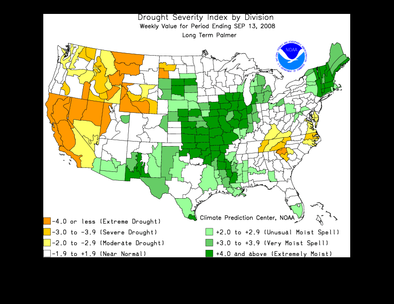
Palmer Drought Index -- Updated weekly, U.S.
Satellite Fire Detection
Hazard Mapping System - Fire and Smoke Products
GIS Fire Analysis -- Web-based
GOES-12 Wildfire ABBA -- Midwest and Ohio Valley
Wisconsin Precipitation Data
Highs, Lows and Precip -- Updated daily
Precipitation - Last 7 days -- Wisconsin State Climatology Office
Precipitation - Departure from Normal - Last 7 days -- Wisconsin State Climatology Office
Precipitation - Last 30 days -- Wisconsin State Climatology Office
Precipitation - Departure from Normal - Last 30 days -- Wisconsin State Climatology Office
Fire Weather Forecasts
Regional NarrativesNortheast and North-Central Wisconsin
Northeast and North-Central Wisconsin -- Another source
Southern Wisconsin
Southern Wisconsin -- Another source
Southwest Wisconsin
Southwest Wisconsin -- Another source
Northern Minnesota and Northwest Wisconsin
Northern Minnesota and Northwest Wisconsin -- Another source
Central Minnesota and West-Central Wisconsin
Central Minnesota and West-Central Wisconsin -- Another source
Upper Michigan
Upper Michigan -- Another source
Fire Weather Watches / Red Flag Warnings
Northeast and North-Central Wisconsin
Southern Wisconsin
Southwest Wisconsin
Northern Minnesota and Northwest Wisconsin
Central Minnesota and West-Central Wisconsin
Upper Michigan
Weather Activity Planner
Northeast and North-Central Wisconsin
National Outlooks
4-Panel Forecast Weather Map -- Next day forecast
National Fire Weather Outlook -- U.S.
Forecast Fire Danger Class Map -- Next day forecast
Related Links
Wisconsin Fire Weather Operating Plan -- 2008Wisconsin DNR - Wisconsin Forest Fire Program
National Interagency Fire Center
Minnesota DNR Fire Danger Page
Michigan DNR Fire Danger Page
Eastern Area Coordination Center
Eastern Area Modeling Consortium - Fire Weather Forecast Model
About the Program
The National Weather Service in Green Bay issues zone and specific "point" forecasts for various fire control agencies in Wisconsin.
The Zone Forecasts, issued twice daily, contain information about weather, wind, and humidity for a 7-day period over Wisconsin.
Point Forecasts issued by NWS Green Bay are site-specific forecasts which are issued daily for 1:00 PM Local Time the next day. Points contain forecasts for specific temperatures, humidities, and winds, and are made for ten locations in northeast and north-central Wisconsin.
Did you know that the most devastating forest fire in American history occurred in Wisconsin? Click here for the story.
Fire Weather Forecasts are issued from about April through November.