| Numerical Guidance | ||||
|---|---|---|---|---|
| MEX (GFS) | MAV (GFS) | MET (ETA) | FWC (NGM) | Help Pages |
| Benton Harbor | Benton Harbor | Benton Harbor | FWC help | |
| Coldwater | Coldwater | Coldwater | MET help | |
| Defiance | Defiance | Defiance | MAV help | |
| Fort Wayne | Fort Wayne | Fort Wayne | Fort Wayne | MEX help |
| Goshen | Goshen | Goshen | ||
| Grissom AFB | Grissom AFB | Grissom AFB | Grissom AFB | |
| Hillsdale | Hillsdale | Hillsdale | ||
| Lafayette | Lafayette | Lafayette | Lafayette | |
| Lima | Lima | Lima | ||
| Muncie | Muncie | Muncie | ||
| South Bend | South Bend | South Bend | South Bend | |
| Sturgis | Sturgis | Sturgis |
All available cities within the Northern Indiana office's area of responsibility and some nearby are included in the above table. If there is a city from outside our area that you would like to see included in the table, let us know.
The time in these models is indicated in ZULU (UTC). Take the current time, convert it to the 24 hour clock, and then add 5 hrs for the eastern time zone. 7AM=12Z 1PM=18Z 6PM=23Z 7PM=00Z 12AM=5Z
The former AVN model is now known as the GFS (Global Forecast System) model.
The former ETA model is now known as the NAM (North American model.
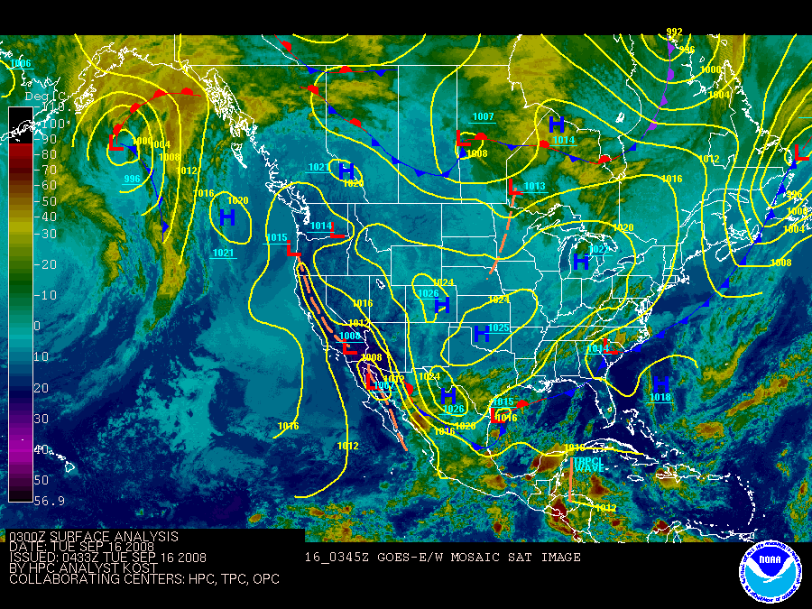
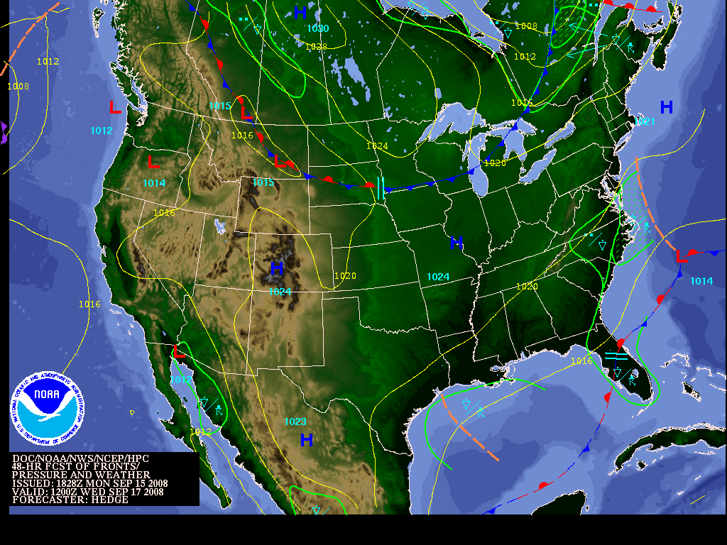
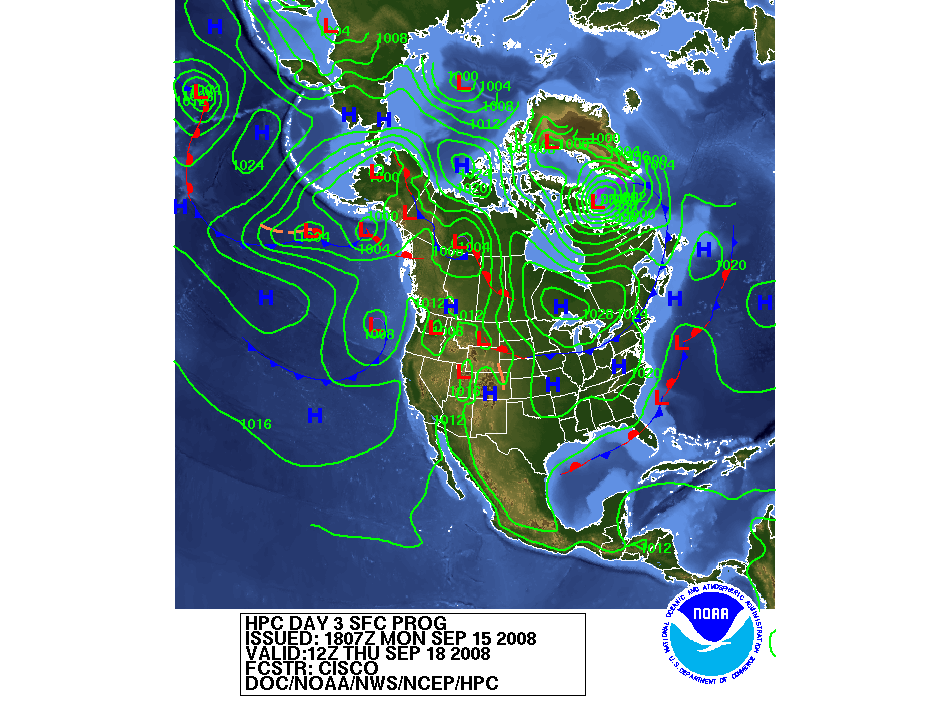
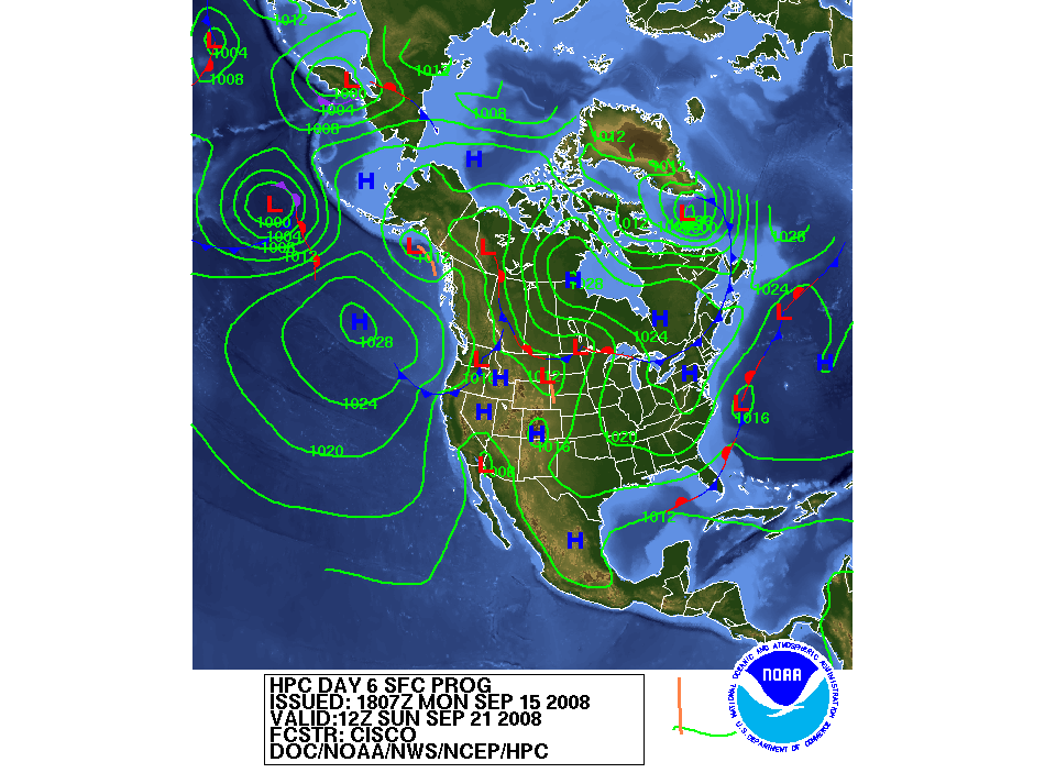
Current Surface Map(click on map for larger image) |
||
|---|---|---|
 |
||
| 12 hour forecast | 24 hour forecast | 36 hour forecast |
| 48 hour forecast | 3 Day Forecast | 4 Day Forecast |
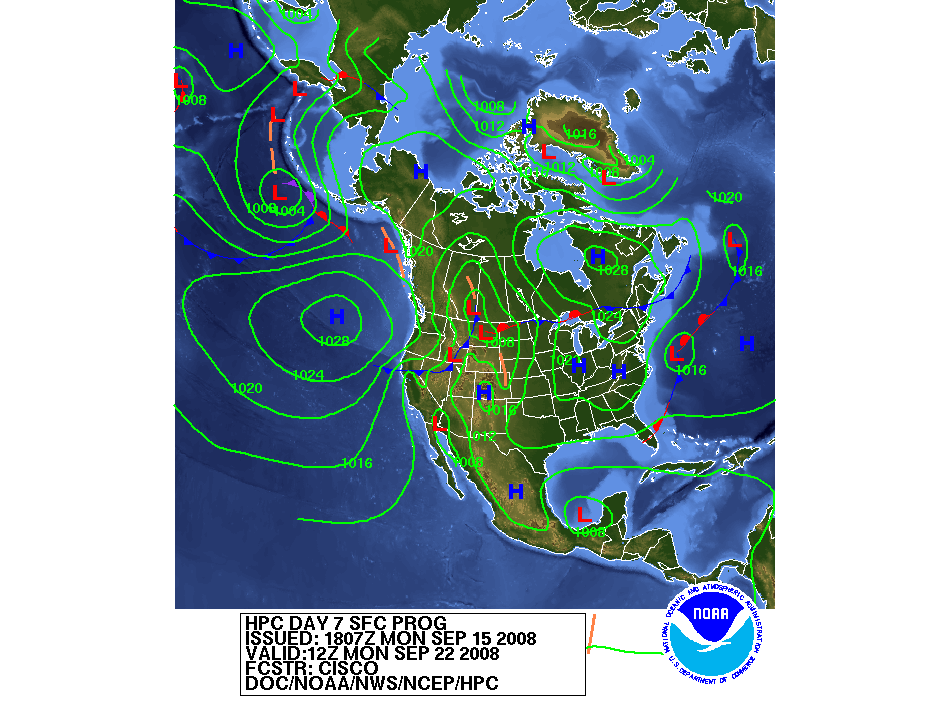
| 5 Day Forecast | 6 Day Forecast | 7 Day Forecast |
Key: VT=valid time, 12Z=7AM, 00Z=7PM |
||
|
|
|
Questions or Comments on the Model Guidance Page
can be sent to iwx.webmaster@noaa.gov |
|
|
- NOAA's National Weather Service
- Northern Indiana Weather Forecast Office
- 7506 E 850 N
- Syracuse, IN 46567
- 574-834-1104
- Page Author: IWX Webmaster
- Web Master's E-mail: w-iwx.webmaster@noaa.gov
- Page last modified: 4-Nov-2005 9: 06 PM UTC