Fire Weather Information

 Area Fire Weather Products:
- NWS Omaha Spot Forecast
- Submit and/or retrieve a Spot Forecast using NWS Spot (for the entire Omaha forecast area for anytime of the year).
- Need a tutorial for NWS Spot?
- County Fire Weather Forecast Point-N-Click Map
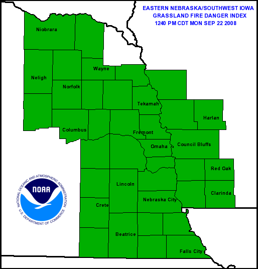
- Nebraska and Southwest Iowa Grassland Fire Danger Index

Other Fire Weather Products |
|
|---|---|
| Observations | | Observed Fire Danger | 10 Minute Average Wind | | 24-hr Precip.| Temperatures | Relative Humidity | 4-panel: Wind, Rain, Temp, RH |
| Next Day Forecasts | | Forecast Fire Danger | 10 Minute Average Wind | | 24-hr Precip. | Temperatures| Relative Humidity | 4-panel: Wind, Rain, Temp, RH |
| Greenness | | Visual Greenness Map | Relative Greenness | Departure from Average Greenness | Live Fuel Moisture | 4-panel Greenness | |
| Dead Fuel Moisture | 10 Hour | 100 Hour | 1000 Hour |
| Drought Indices | Keetch-Byram | Palmer | Drought Monitor |
| Lower Atmospheric Stability | Haines Index |
| USA RAWS Climate Archive |
ROMAN (includes RAWS, airport sites and miscellaneous sites)
WRCC (western region climatic center, RAWS only)
|
| Area Upper Air Soundings | Omaha, NE | North Platte, NE | Topeka, KS |
SPC Fire Weather Products |
|
|---|---|
 Day 1 Fire Weather Outlook |
 Day 2 Fire Weather Outlook |
| SPC Risk Categories | |
Other NOAA Fire Weather Links:
- Go To Active Fire Maps (displays active fires and their subsequent data)
- Fire Hazard Mapping System Fire and Smoke Product
- Satellite Services Division - Fire Products(with a detailed, interactive map)
- Smoke Forecasting Project(for significant smoke producing fires
LINKS TO AREA FIRE COORDINATION CENTERS
|
|---|
NCEP Surface Maps |
|---|
| Latest Surface Analysis 12-hr fcst | 18-hr fcst | 24-hr fcst | 30-hr fcst | 36-hr fcst | 48-hr fcst |