www.weather.
gov
Home
News
Organization
Contact us
Search
Local forecast by
"City, St" or zipcode
Search by city or zipcode. Press enter or select the go button to submit request
Current Hazards
North & Central GA
National
eSpotter
Submit a Storm Report
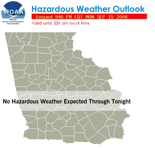
Hazardous Wx Outlook
[ MORE... ]
Current Conditions
Observations
Satellite Images
Maps
Rivers&Lakes - AHPS
Radar Imagery
Peachtree City
Warner Robins
Regional Loop
National Network
Forecasts
Text Forecasts
Graphical Forecasts
"GraphiCast"
"Activity Planner"
Computer Models
Aviation (Southeast)
Aviation (National)
Fire Weather
Climate
Local
National
More...
Lakes & Rivers
NOAA Weather Radio
Tropical Weather
Nat'l Hurricane Cntr
Alternate site
Miscellaneous
Sunrise/Sunset
FAQs
Met Calculator
Resource Pages
User's Guide
"HotSeat"
Archived Info
Rainfall
Research
Education & Outreach
Storm Stats
Weather Safety
StormReady ®
SkyWarn
TM
Preparedness
Shareholders' Report
Power Page
Overview / Hazards
Situational Awareness right now!
Jump down to interactive local Watch / Warning / Advisory Map
|||
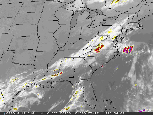
Surface/Satellite/Sounding
>>>
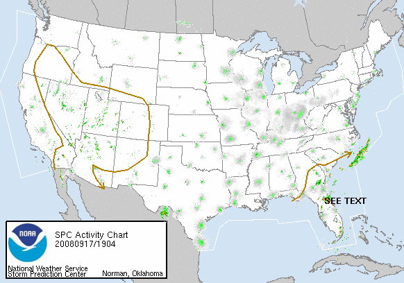
Radar & SVR Outlook
|
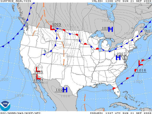
Surface Map
|
Satellite
|
Watch/Warn/Adv
|
Hazardous Outlook
|
GraphiCast
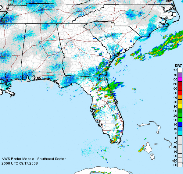
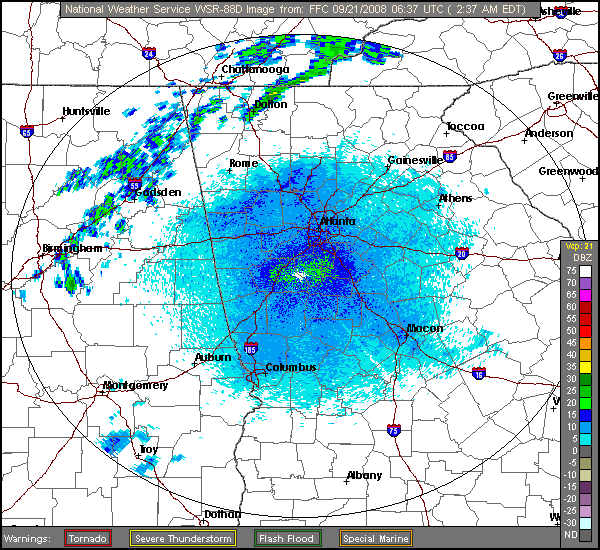
Radars:
Regional
::
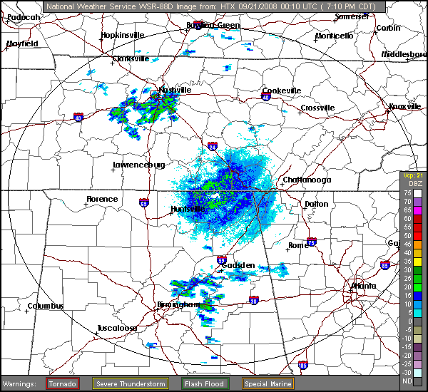
HTX
::
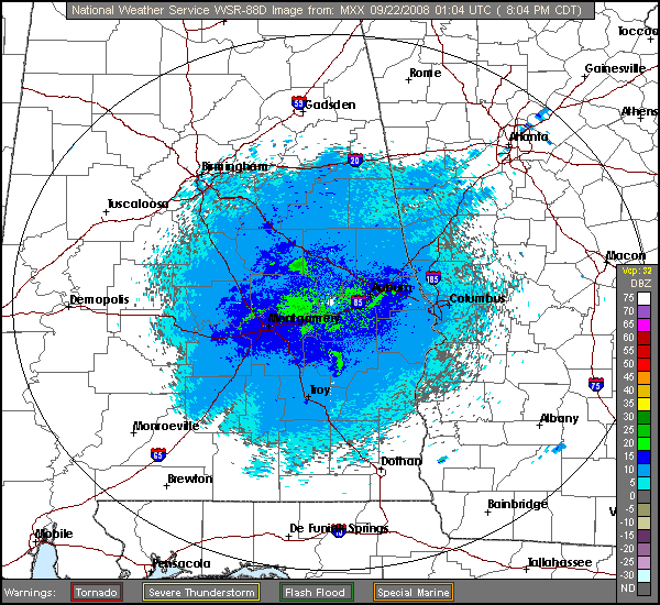
MXX
::
FFC
::
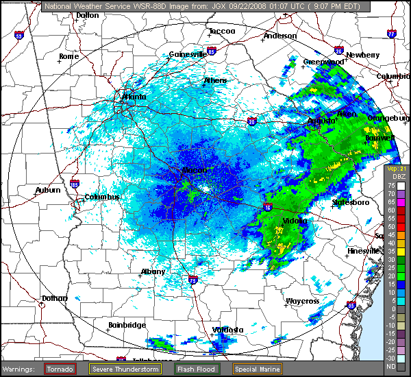
JGX
::
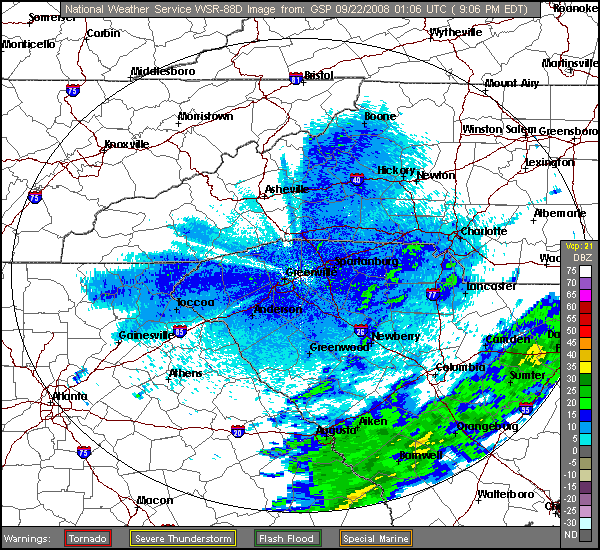
GSP
Jump back to top of page
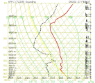
Upper Air Data for Peachtree City, Georgia (KFFC)
Skew-T Plot
Other Useful Links
Local Storm Reports
(check issue times)
WFO Peachtree City
WFO Tallahassee, FL
WFO Birmingham, AL
WFO Huntsville, AL
WFO Morristown, TN
WFO Greenville-Spartanburg, SC
WFO Columbia, SC
WFO Charleston, SC
WFO Jacksonville, FL
Send Us a Storm Report
User's Guide
Severe Weather Product Suite
National Weather Service Forecast Office
4 Falcon Drive
Peachtree City, Georgia 30269
Phone: 770.486.1133
contact webmaster:
sr-ffc.webmaster@noaa.gov
Page last modified: March 15, 2007
Disclaimer
Privacy Policy


![[ need help/info? ]](https://webarchive.library.unt.edu/eot2008/20080920061002im_/http://www.srh.noaa.gov/ffc/images/info3.gif)
