Note: The script displays the following message when an external link is selected: "You are now leaving the National Weather Service Web site. The NWS provides a link to this external Web page because it may contain related information of interest to you. This link does not constitute an endorsement by the NWS of any information, products or services on this external Web site. Click the OK button or press the Enter key on the keyboard to advance from this message to the external link. You can return to the NWS Web site by using the Back button on your Web browser."
Skip Navigation Linkswww.weather.gov 
NOAA logo - Click to go to the NOAA homepage National Weather Service Forecast Office   NWS logo - Click to go to the NWS homepage
Tallahassee, Florida


   You are at: NWS Home » SRH Home » WFO Tallahassee Home » Tropics Watch - Hurricane Season 2008

Hurricane Season 2008

  • If you suffered damage during Fay, Gustav or Ike, check out FEMA's online application to see if you qualify for assistance.
  • Read our post-event report on Gustav.
  • See the Tropical Storm Fay summary web page and post-event report on Fay.
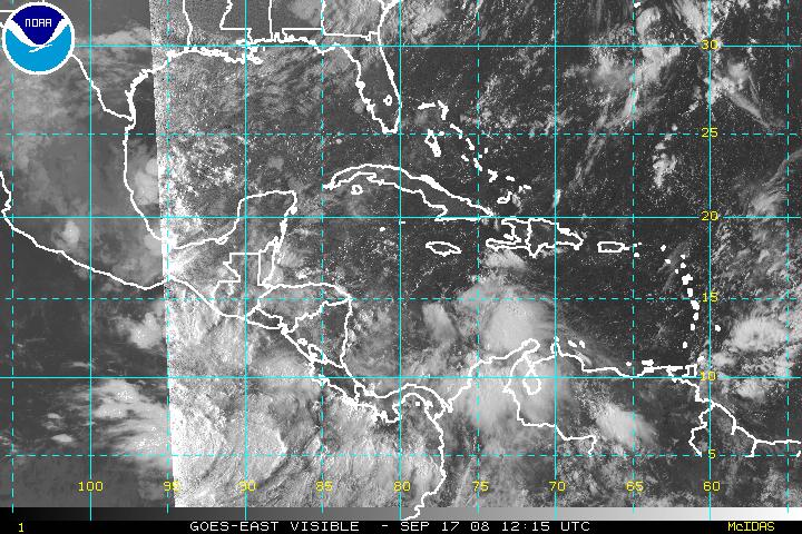
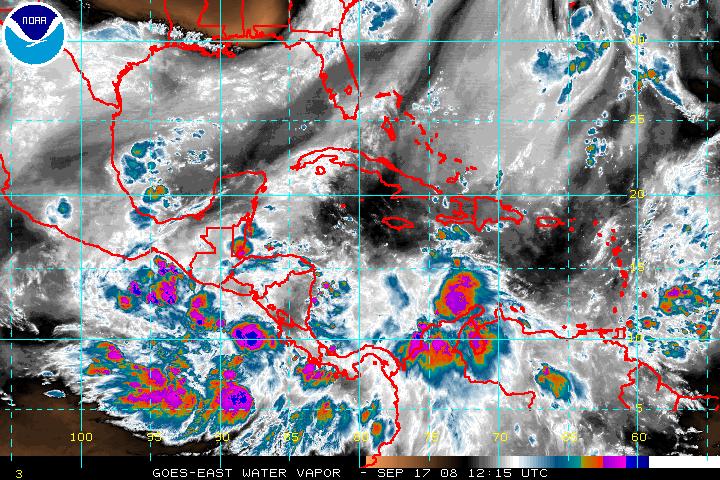
  • Get the latest storm coordinates over the phone. For tropical storms or hurricanes west of 60W and south of 35N, call 850-942-8851 (then press 1, 1 and 5).
  • 8/7/08 Update: NOAA predicts increased chance for above average Atlantic Hurricane Season.
  • What do seasonal hurricane forecasts mean to the residents of Florida?
  • NOAA's Hurricane Awareness Tour visited Apalachicola, FL on April 17.
  • Are you Really Prepared for a Hurricane?
  • Read NOAA's 2007 Atlantic Hurricane Season Summary

    Useful Links

    Forecast Models
    1 GFS, ETA & NGM
    2 ECMWF
    3 NOGAPS
    4 GFDL, Canadian & MM5
    5 WAVEWATCH III
    5 About NHC Models

    NWS TropicalProducts Guide

    Frequently Asked Questions

    National Hurricane Center

    Hazard amp; Preparedness Information

    Tropical Cyclone Probabilities

    Other Hurricane Links

     
    2008 Storm Names
    Atlantic

    Arthur
    Bertha
    Cristobal
    Dolly
    Edouard
    Fay
    Gustav
    Hanna
    Ike
    Josephine
    Kyle
    Laura
    Marco
    Nana
    Omar
    Paloma
    Rene
    Sally
    Teddy
    Vicky
    Wilfred

    E. Pacific

    Alma
    Boris
    Christina
    Douglas
    Elida
    Fausto
    Genevieve
    Hernan
    Iselle
    Julio
    Karina
    Lowell
    Marie
    Norbert
    Odile
    Polo
    Rachel
    Simon
    Trudy
    Vance
    Winnie
    Xavier
    Yolanda
    Zeke

    Other Years
     
    Storm Reports of Local Interest
    (2008 reports are preliminary)
    Gustav - Sept. '08
    Fay - August '08
    TD 10 - Sept. '07
    Barry - June '07
    Alberto June '06
    Wilma - October '05
    Katrina - August '05
    Dennis - July '05
    Cindy - July '05
    Arlene - June '05
    Jeanne - Sept. '04
    Ivan - Sept. '04
    Frances - Sept. '04
    Charley - August '04
    Bonnie - August '04
    Henri - Sept. '03
    Isidore - Sept. '02
    Hanna - Sept. '02
    Barry - August '01
    Allison - June '01
    Helene - Sept. '00
    Gordon - Sept. '00
    Georges - Sept. '98
    Earl - Sept. '98
    Josephine - October '96
    Opal - October '95
    Jerry - August '95
    Erin - August '95
    Allison - June '95
    Kate - Nov. '85
     
    Previous Storm Tracks
    2007
    2006
    2005
    2004
    2003
    2002
    2001
    2000
    1999
    1998
    Previous Years
    Historical Hurricane Track Search Tool

    Atlantic Basin Storm Watch

    This is a GOES or METEOSAT infrared satellite picture of a portion of the tropical Atlantic basin. Please be patient while the latest satellite image loads.
    This is a GOES or METEOSAT infrared satellite picture of a portion of the tropical Atlantic basin. If tropical systems develop, we will display a sector that focuses on the storm in either the Gulf of Mexico, the Caribbean Sea and western Atlantic, the northwestern Atlantic, or the eastern Atlantic. Click on the image for a larger view. Click here to loop the image.

    Atlantic Basin Storms

    This post is not reporting tropical cyclone activity for the Atlantic basin


    Daily Products
    1 Tropical Outlook (Graphic)
    2 Tropical Discussion
    3 Recon Plans & Data

    Tropical Weather Summaries
    1 July
    1 June
    1 2007 Seasonal Summary

    Eastern & Central Pacific Storms

    1Tropical Outlooks [ Eastern (graphic) / Central]
    2 NOAA Satellite Imagery
    3 NHC Storm Updates
    4 CPHC Storm Updates


    This service does not constitute an official source of NWS information and the information provided here may become unavailable at any time. This information shall not be modified in content and then presented as offical government material. A reference from a NWS web server to any non-government entity, product, service or information does not constitute an endorsement or recommendation.

      Saffir-Simpson Hurricane Scale
    Category

    Pressure
    mb

    Winds
    mph
    Surge
    ft
    Depression -- <39 --
    T. Storm -- 39-73 --
    Hurricane 1 > 980 74-95 4-5
    Hurricane 2 965-980 96-110 6-8
    Hurricane 3 945-965 111-130 9-12
    Hurricane 4 920-945 131-155 13-18
    Hurricane 5 < 920 > 155 > 18
    Effects & Damage Estimates.
     
      Radar Imagery
    Pick an Individual U.S. Radar
    National Mosaic
    Mexico
    Cuba
    Puerto Rico
    The Antilles (French)
    Canadian Maritimes
     
      Marine Observations
    NDBC's Buoy & CMAN Reports
     
      Land-based Observations
    U.S. Reports
    International Reports
     
      Satellite Imagery

     
    Latest Visible Channel
    Latest Visible Satellite Image over the Hurricane Sector
     
    Latest Infrared Channel
    Latest Infrared Satellite Image over the Hurricane Sector
     
    Latest Water Vapor Channel
    Latest Infrared Water Vapor Image over the Hurricane Sector
     
     
    red arrow bullet More NOAA Satellite Images  


  • Local Climate, Water & Weather Topics:
    Current Hazards, Current Conditions, Radar, Satellite, Climate, Weather Safety, Contact Us

    National Weather Service
    Tallahassee Weather Forecast Office
    Love Building
    Florida State University
    Tallahassee, FL 32306-4509

    Phone: (850) 942-8833
    FAX: (850) 942-8850

    Disclaimer Privacy Policy