

|
More deaths occur each year due to flash flooding than any other thunderstorm threat. Many of these casualities result from careless or unsuspecting motorists attempting to traverse flooded roadways. Learn more here... |
The National Weather Service La Crosse's Hydrological program is responsible for issuing watches, warnings, advisories and other river related products for southeast Minnesota, western Wisconsin, and northeast Iowa. Data is collected from cooperative observers, rainfall reports, and river gages (to name a few).
Latest River Flood Outlooks
|
Latest Flood Warnings
|
Other Statements
- Latest hydrologic statement.
- Latest hydrologic outlook.
- Latest flash flood guidance.
- Monthly Precipitation Summaries for the Area.
River Stages and Forecasts
Numerical guidance for crests and forecast stages are generated by the River Forecast Center in Minneapolis MN. The National Weather Service Office in La Crosse is responsible for providing river statements and warnings for our warning area.
 For a more detailed look at river forecast and stages, go to the local
AHPS pages.
- Latest (hourly) river stages
- Latest morning river stages
- Latest river stage forecasts:
- shef format (standard hydrometeorological exchange format)
Rainfall
- Latest Precipitation and Temperature Round-up
- Graphic of the past 24 hour rainfall for the Upper Midwest
- Forecast graphic of the next 24 hour rainfall for the Upper Midwest
- U.S Precipitation Analysis
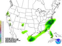
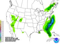
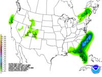
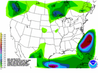
 Rainfall discussion for days 1-3
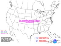
 Excessive rainfall discussion
|
||
|
|
|
|
|
|
Additional Information
- A historical look at some of the major floods and flash floods for the local area.
- Information on the 2001 spring flood on the Mississippi river, April 16th-21st, 2001.
- Information on the Charles City IA record flooding, July 19th-21st, 1999.
- Some pictures from the northeast Iowa flooding from May 16th-17th, 1999.
- Care to take a look at some pictures from the spring 1997 flood?
- The "one-stop" shop for Upper Mississippi River information.
- Stream gaging and Flood Forecasting, a partnership between the U.S. Geological Survery and the National Weather Service.
- Streamflow Information for the Nation.
- NOAA's Drought Information Page.