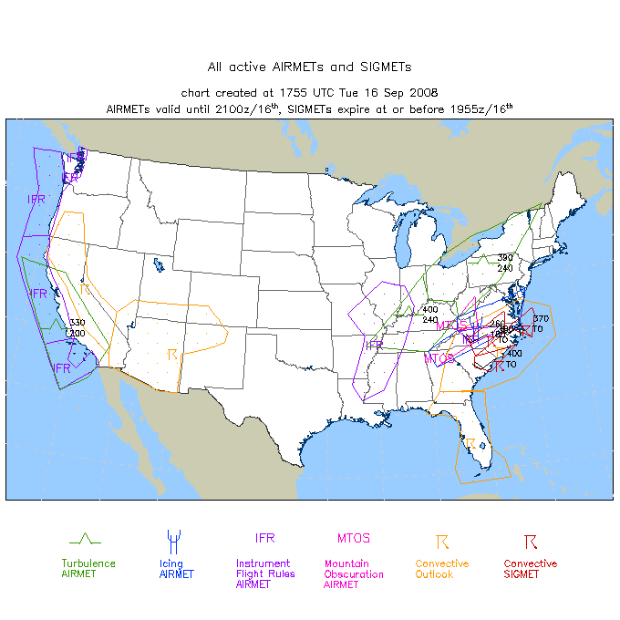

Place your mouse cursor over the location of your choice on the map for that location's latest TAF. Or, you can use the pull down menu located below.
 Terminal Forecasts Terminal Forecasts
|
The La Crosse office is responsible for preparing two Terminal Aerodrome Forecasts (TAF) for the La Crosse (LSE) airport and the Rochester (RST) airport. The TAFs are 24 hour forecasts issued four times a day for the airport and the surrounding vicinity. In the U.S., the airport is defined as a circular area within five nautical miles (nm)of the center of an airport's runway complex, and the vicinity is a doughnut defined area around the airport between 5 and 10 nm. |
 Hot Air Ballon Forecast - (Issued around 2 p.m. daily - seasonal)
| ||
 Standard Briefing (from aviationweather.gov)
|
||

|

|

|
If I am not a pilot why would I be interested in these forecasts? The TAF and TWEB forecasts can be interesting to look at because they allow you to see what the forecaster believes the timing to be for different weather events. If you read a general forecast and it said rain developing during the afternoon; you would know that it was going to rain, but when will it start? The TAF forecast will give you the time that the forecaster believes that rain event will begin.
The times in the TAF and TWEB forecasts are given in ZULU (Z) time or Universal Coordinated TIME (UTC). These times may be converted to local time by adding/subtracting a given number of hours. To convert from Z time to Central Standard Time (CST), you would subtract 6 hours from the Z time. To convert from Z time to Central Daylight Time (CDT), you would subtract 5 hours from the Z time. Example, if a forecast time was 1800 Z; it would be 12 pm or noon CST.
Use this weather phenomena table to learn the
abbreviations used for different precipitation types and obstructions to visibilities in the aviation forecasts.
